Jambughoda
Jambughoda is a village and Tehsil in Panchmahal district in the Indian state of Gujarat. The village has a population of 2,731, while the overall tehsil has a population of 42,476.[1]
Jambughoda | |
|---|---|
city | |
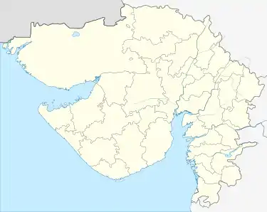 Jambughoda Location in Gujarat, India  Jambughoda Jambughoda (India) | |
| Coordinates: 22.3667000°N 73.7167000°E | |
| Country | |
| State | Gujarat |
| District | Panchmahal |
| Population (2011) | |
| • Total | 42,476 |
| Languages | |
| • Official | Gujarati, Hindi |
| Time zone | UTC+5:30 (IST) |
| PIN | 389390 |
| Telephone code | 91-2676 XXXXXX |
| Vehicle registration | Gj-17 and GJ-20 |
The Tehsil is well known for the Jambughoda Wildlife Sanctuary.[2]
Geography
Jambughoda is located in the eastern part of Panchmahal, in a region covered by hills and forests. This area has shallow, sandy soil and receives slightly less rainfall than the western part of Panchmahal.[1]
Demographics
As of 2011 India census,[3] Jambughoda had a population of 42,476. There are 7,900 households. People belonging to Scheduled Tribes are 15,112 (36%).
The literacy rate in the tehsil of Jambughoda in 2011 was 64%, which was lower than the average rate of 71% in all of Panchmahal district.[1]
The tehsil of Jambughoda contained 55 villages in 2011 (including Jambughoda itself), all of which had access to electricity and clean drinking water, 49 of which had schools, 13 of which had medical facilities, 16 of which had post offices, 49 of which had transport communications (bus, rail, or navigable waterways), 3 of which had banks, 5 of which had agricultural credit societies, and 46 of which had pucca roads. 54.1% of the total land area in Jambughoda tehsil was under cultivation, and 25.8% of the land under cultivation was irrigated.[1]
In 2011, the village of Jambughoda itself had a population of 2,731 people, in 633 households. It possessed 3 primary schools, 1 secondary school, 2 senior secondary schools, and 2 vocational training schools, as well as a community health centre, a public library, and a regular market. The town had access to tap water, public toilets, and landlines as well as cell phone coverage. Jambughoda had pucca roads, but not water-bound Macadam roads. These roads were not connected to national highways, but they were connected to state highways. Jambughoda did not have a railway station.[1]
History
Before 1947, Jambughoda was the seat of the princely state of Jambughoda (former narukot state), which was merged with the Dominion of India on 10 June 1948. The state had been ruled by the Hindu Parmar clan of Kolis.
Thakor Sahibs
- .... - .... Dipsinhji Jagatsinhji (b. 1841 - d. ....)
- .... - 27 Sep 1917 Gambhirsimhji (d. 1917)
- 27 Sep 1917 – 15 Aug 1947 Ranjitsinhji Gambhirsinhji (b. 1892 - d. 1962)
Agriculture
The predominant crops in the village of Jambughoda are castor, corn, cotton, rice, and pigeon pea. Due to an almost total lack of irrigation facilities in the village, agriculture is dependent on monsoon rainfall.[4]
See also
References
- "Census of India 2011: Gujarat District Census Handbook - Panch Mahals, Part A (Village and Town Directory)". Census 2011 India. pp. 24–25, 82–86, 98, 103–104, 631–640. Retrieved 1 April 2020.
- "Jambughoda Wildlife Sanctuary - Forest Department, Gujarat". Archived from the original on 14 July 2014. Retrieved 11 July 2014.
- 2001 and 2011 - Government of Gujarat
- Solanki, Reshma; Kumar, Dolly (September 2015). "Spiders (Araneae) from Five Major Agro-Ecosystems of Jambughoda Village, Panchmahal District, Gujarat, India". International Journal of Science and Research. 4 (9): 958–61. Retrieved 12 April 2020.