Julietta, Indiana
Julietta, Indiana is a small neighborhood in Indianapolis located in eastern Marion County on the border of Hancock County. Julietta is situated 11 miles (17.7 km) east of downtown Indianapolis and 3.5 miles (5.6 km) west of New Palestine, Indiana. The neighborhood is adjacent to U.S. Route 52.
Julietta, Indiana | |
|---|---|
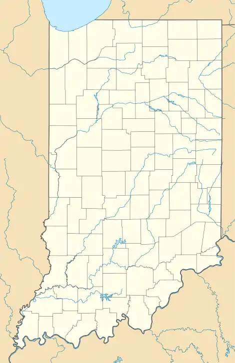 Julietta, Indiana Location of Julietta in the state of Indiana | |
| Coordinates: 39°44′15″N 85°57′26″W | |
| Country | United States |
| State | Indiana |
| County | Marion |
| City | Indianapolis |
| Elevation | 830 ft (250 m) |
| Time zone | UTC-5 (EST) |
| • Summer (DST) | UTC-4 (EDT) |
| ZIP code | 437144 |
| Area code(s) | 317 |
| GNIS feature ID | 440019[2] |
References
- "Elevation on Geographic Names Information System". United States Geological Survey. February 14, 1979. Retrieved June 17, 2013.
- "Geographic Names Information System Feature ID". United States Geological Survey. February 14, 1979. Retrieved June 17, 2013.
This article is issued from Wikipedia. The text is licensed under Creative Commons - Attribution - Sharealike. Additional terms may apply for the media files.