Junín, Nariño
Junín is a settlement in Barbacoas Municipality, Nariño Department in Colombia.
Junín | |
|---|---|
| Coordinates: 1°19′59.1312″N 78°8′59.1036″W | |
| Country | |
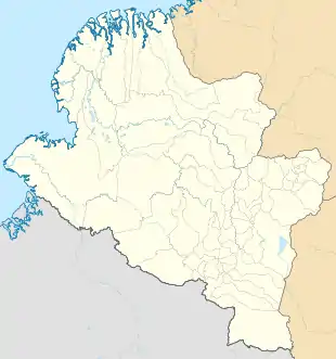
| Department | Nariño |
| Municipality | Barbacoas Municipality |
| Elevation | 3,796 ft (1,157 m) |
| Population (2005) | |
| • Total | 44 [1] |
| Time zone | UTC-5 (Colombia Standard Time) |

Climate
Junín has a relatively cool due to elevation and extremely wet tropical rainforest climate (Af). It is the wettest place in the department of Nariño.
| Climate data for Junín | |||||||||||||
|---|---|---|---|---|---|---|---|---|---|---|---|---|---|
| Month | Jan | Feb | Mar | Apr | May | Jun | Jul | Aug | Sep | Oct | Nov | Dec | Year |
| Average high °C (°F) | 24.6 (76.3) |
25.0 (77.0) |
25.4 (77.7) |
25.5 (77.9) |
25.4 (77.7) |
25.5 (77.9) |
25.4 (77.7) |
25.4 (77.7) |
25.3 (77.5) |
24.8 (76.6) |
24.6 (76.3) |
24.4 (75.9) |
25.1 (77.2) |
| Daily mean °C (°F) | 20.5 (68.9) |
20.8 (69.4) |
21.1 (70.0) |
21.1 (70.0) |
21.1 (70.0) |
21.0 (69.8) |
20.7 (69.3) |
20.8 (69.4) |
20.7 (69.3) |
20.6 (69.1) |
20.4 (68.7) |
20.4 (68.7) |
20.8 (69.4) |
| Average low °C (°F) | 16.5 (61.7) |
16.7 (62.1) |
16.8 (62.2) |
16.8 (62.2) |
16.8 (62.2) |
16.5 (61.7) |
16.1 (61.0) |
16.2 (61.2) |
16.2 (61.2) |
16.4 (61.5) |
16.4 (61.5) |
16.5 (61.7) |
16.5 (61.7) |
| Average rainfall mm (inches) | 811.5 (31.95) |
660.9 (26.02) |
779.5 (30.69) |
945.0 (37.20) |
896.8 (35.31) |
720.0 (28.35) |
561.7 (22.11) |
448.9 (17.67) |
614.1 (24.18) |
846.2 (33.31) |
686.7 (27.04) |
839.7 (33.06) |
8,811 (346.89) |
| Average rainy days | 30 | 27 | 30 | 29 | 30 | 29 | 30 | 28 | 29 | 30 | 28 | 30 | 350 |
| Source 1: [2] | |||||||||||||
| Source 2: [3] | |||||||||||||
References
- "Junín (Barbacoas, Nariño, Colombia) - Population Statistics, Charts, Map, Location, Weather and Web Information". www.citypopulation.de. Retrieved 24 June 2020.
- "Data". www.ideam.gov.co. Retrieved 2020-06-21.
- "Junin climate: Average Temperature, weather by month, Junin weather averages - Climate-Data.org". en.climate-data.org. Retrieved 24 June 2020.
This article is issued from Wikipedia. The text is licensed under Creative Commons - Attribution - Sharealike. Additional terms may apply for the media files.