Kaghan Valley
The Kaghan Valley (Urdu: وادی کاغان) is an alpine valley located in the Mansehra District of Khyber Pakhtunkhwa, Pakistan.[1][2][3] The valley covers a distance of 155 kilometres (96 mi)[4] across northern Pakistan, rising from its lowest elevation of 650 m (2,134 ft) to its highest point at the Babusar Pass around 4,170 m (13,690 ft).[5] Landslides triggered by the devastating 2005 Kashmir earthquake destroyed many passes leading into the valley, though roads have since been largely rebuilt. The Kaghan is a highly popular tourist attraction.[6][7][8]
Kaghan Valley
کاغان | |
|---|---|
 Kaghan photographed during autumn, c. October 2015 | |
 Kaghan Valley  Kaghan Valley | |
| Coordinates: 34°50′N 73°31′E | |
| Country | |
| Province | |
| District | Mansehra |
| Elevation | 2,500 m (8,200 ft) |
| Time zone | UTC+5 (PST) |
Geography
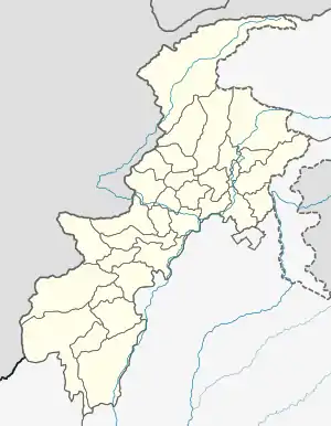
The Kaghan Valley is located in Khyber Pakhtunkhwa, Pakistan (formerly known as the North-West Frontier Province), and borders the Pakistani-administered territories of Gilgit-Baltistan and Azad Jammu and Kashmir to the north and east, respectively. The 155-kilometre-long valley is enveloped by the Lower Himalayan mountain range, resulting in an alpine climate and the prevalence of pine forests and alpine meadows.[9] Alongside the flow of the Kunhar River, the valley features glaciers, crystal-like clear lakes, waterfalls and frosty mountain streams. The Kaghan is famous for its scenic beauty and landscapes, resulting in its popularity as a summertime resort amongst locals and tourists alike.[10][11]
Access
The Kaghan Valley can be reached by road via Balakot through Mansehra and Abbottabad. In Balakot, public buses and other vehicular transport can be used to travel to the valley. Additionally, the Kaghan can also be reached from Peshawar or the national capital of Islamabad by renting a car to Abbottabad or Mansehra; tourists can then order a taxi or other available methods of public transport to go to the valley.
The valley is always accessible during the summer and closed to visitors during winter. This is because glaciers block the roads leading to the Kaghan during winter, although these glaciers typically melt between February and April. From May to the end of September, the roads and Babusar Pass remain open. In May, the temperature can reach up to 11 °C (52 °F) and stoop as low as 3 °C (37 °F).[12]
See also
| Wikimedia Commons has media related to Kaghan Valley. |
| Wikivoyage has a travel guide for Kaghan Valley. |
References
- "Kaghan Valley". tourism.kp.gov.pk. Retrieved 1 May 2019.
- "Alpine-Climate Valley". www.manhoos.com. Retrieved 24 May 2018.
- Shakirullah, J Ahmad, H Nawaz (2016). Recent Archaeological Exploration of the Upper Kaghan Valley, Mansehra, Pakistan. Annual Conference on South Asia 45
- "Length of Valley". www.tourismontheedge.com. Retrieved 23 May 2018.
- "Elevation of Kaghan Valley". explorepak.wordpress.com. Retrieved 23 May 2018.
- The Kashmir Earthquake of 8 October 2005 – Earthquake Engineering
- "Cold wave rules KP, Fata: Snow, landslides block roads in Kaghan valley". www.thenews.com.pk.
- "Record number of tourists visit Kaghan Valley". www.thenews.com.pk.
- Planet, Lonely. "Kaghan Valley travel | Karakoram Highway, Pakistan". Lonely Planet. Retrieved 17 August 2019.
- "Geographical Elements of the Kaghan Valley". Mapping and Documentation of the Cultural Assets of Kaghan Valley, Mansehra (PDF). UNESCO, Islamabad: UNESCO. p. 10. Retrieved 11 August 2019.
- "Kaghan – A Jewel Among Valleys". emergingpakistan.gov.pk. Retrieved 11 August 2019.
- "Best Time to Visit Kaghan Valley". Tourism.gov.pk. Archived from the original on 20 July 2010. Retrieved 13 August 2018.