Kala Airport
Kala Airport (ICAO: FZFL) was an airstrip near Monganzu, a hamlet on the Ubangi River in Sud-Ubangi Province, Democratic Republic of the Congo.
Kala Airport | |||||||||||
|---|---|---|---|---|---|---|---|---|---|---|---|
| Summary | |||||||||||
| Airport type | Closed | ||||||||||
| Serves | Monganzu | ||||||||||
| Elevation AMSL | 1,254 ft / 382 m | ||||||||||
| Coordinates | 3°23′00″N 18°39′20″E | ||||||||||
| Map | |||||||||||
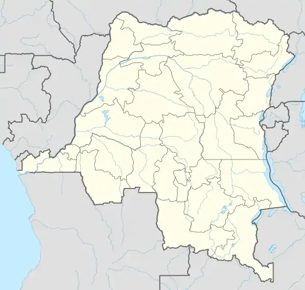
 FZFL Location of the airport in Democratic Republic of the Congo | |||||||||||
| Runways | |||||||||||
| |||||||||||
Google Earth Historical Imagery (4/18/2017) shows brush and shrubbery have grown on the runway since the (5/24/2000) image.
See also
 Democratic Republic of the Congo portal
 Aviation portal
- Transport in the Democratic Republic of the Congo
- List of airports in the Democratic Republic of the Congo
References
- "Kala airstrip". Google Maps. Google. Retrieved 26 April 2018.
- "Kala airstrip location". HERE Maps. HERE. Retrieved 26 April 2018.
This article is issued from Wikipedia. The text is licensed under Creative Commons - Attribution - Sharealike. Additional terms may apply for the media files.