Kamanjab
Kamanjab (Otjiherero name: Okamanja)[1] is a village of 6,012 people in the Kunene region in Namibia. It is the administrative centre of the Kamanjab Constituency. From Otjiherero, Okamanja, 'the place of big stones'.[2]
Kamanjab
Okamanja | |
|---|---|
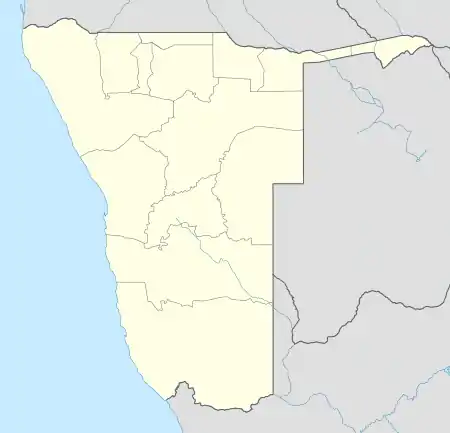 Kamanjab Location in Namibia | |
| Coordinates: 19°38′S 14°50′E | |
| Country | |
| Region | Kunene Region |
| Constituency | Kamanjab Constituency |
| Time zone | UTC+2 (SAST) |
| Climate | BWh |
Politics
Kamanjab is governed by a village council that has five seats.[3]
The 2015 local authority election was won by the SWAPO party which gained three seats (689 votes). The remaining two seats went to the United Democratic Front (UDF) with 375 votes.[4] The 2020 local authority election was won by the UDF which gained 606 votes and two seats. SWAPO was runner up with 541 votes and also two seats. The remaining seat went to the Popular Democratic Movement (PDM, 82 votes).[5]
References
- Menges, Werner (12 May 2005). "Windhoek?! Rather make that Otjomuise". The Namibian.
- Cassidy, Joseph (2009). Place Names of Namibia A Historical Dictionary. Windhoek: Macmillan Education Namibia Publishers (Pty) Ltd. p. 41. ISBN 978-99916-0-654-5.
- "Know Your Local Authority". Election Watch (3). Institute for Public Policy Research. 2015. p. 4.
- "Local elections results". Electoral Commission of Namibia. 28 November 2015. p. 4. Archived from the original on 10 December 2015.
- "2020 Local Authority Elections Results and Allocation of Seats" (PDF). Electoral Commission of Namibia. 29 November 2020. p. 10. Retrieved 26 January 2021.
This article is issued from Wikipedia. The text is licensed under Creative Commons - Attribution - Sharealike. Additional terms may apply for the media files.