Karijärvi
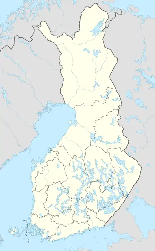
Karijärvi is a medium-sized lake of Finland in the Kymijoki main catchment area. It is located in the municipality of Kouvola, in region of Kymenlaakso.[1] In the north-eastern shore of the lake there is an area of Uutelanvuori rock paintings.[2][3]
| Karijärvi | |
|---|---|
 Karijärvi | |
| Coordinates | 61.1523°N 26.41952°E |
| Primary outflows | Myllyjoki |
| Catchment area | Kymijoki |
| Basin countries | Finland |
| Surface area | 20.558 km2 (7.937 sq mi) |
| Average depth | 9.26 m (30.4 ft) |
| Max. depth | 33 m (108 ft) |
| Water volume | 0.19 km3 (150,000 acre⋅ft) |
| Shore length1 | 71.79 km (44.61 mi) |
| Surface elevation | 77.3 m (254 ft) |
| Frozen | December–April |
| Islands | Lammassaari, Herransaari |
| Settlements | Jaala |
| References | [1] |
| 1 Shore length is not a well-defined measure. | |
See also
- List of lakes in Finland
References
- Karijärvi in the Jarviwiki Web Service. Retrieved 2014-03-08. (in English)
- Uutelanvuori in the Citizens Map Site. Retrieved 2014-03-07. (in Finnish)
- Ismo Luukkonen. Photos of the Uutelanvuori rock paintings. Retrieved 2014-03-08. (in Finnish)
This article is issued from Wikipedia. The text is licensed under Creative Commons - Attribution - Sharealike. Additional terms may apply for the media files.