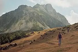
Komovi
Komovi (Serbian Cyrillic: Комови) is a mountain and mountain range in eastern Montenegro. It is a part of the Dinaric Alps. Its highest peak, Kom Kučki, reaches a height of 2,487 meters.[1]
| Komovi | |
|---|---|
| Комови | |
 | |
| Highest point | |
| Elevation | 2,487 m (8,159 ft) |
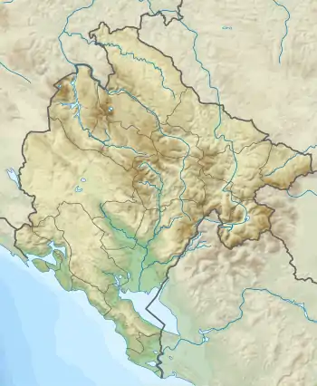
| Coordinates | 42°40′51″N 19°38′29″E |
| Geography | |
 Komovi | |
| Parent range | Dinaric Alps |
Komovi are located between the Montenegrin-Albanian mountain range Prokletije bordering them from the south and east, Bjelasica mountain in the north, and Tara river in the west. Administratively, Komovi mountain range is divided between the municipalities of Kolašin and Andrijevica. Traditionally, Komovi massif was traditionally the location of katuns (groups of shephard summer cottages) used by the Montenegrin tribes of Vasojevići and Kuči.[2]
Since 2018, Komovi are classified as a nature park, i.e. as a protected natural area, due to their ecological significance, and abundance of the flora and fauna. [3]
Peaks
Five highest peaks of Komovi are:
- Kom Kučki 2,487 m (8,159 ft)
- Kom Ljevorečki 2,469 m (8,100 ft)
- Kom Vasojevićki 2,461 m (8,074 ft)
- Rogamski vrh 2,303 m (7,556 ft)
- Bavan 2,252 m (7,388 ft)