Kuzitrin River
The Kuzitrin River (Kurritqiun in Inupiaq) is a stream, 95 miles (153 km) long, on the Seward Peninsula in the U.S. state of Alaska.[1] It begins at Kuzitrin Lake in the central region of the peninsula and flows 95 miles (153 km) west into the Imuruk Basin.[1] The basin drains via the bay of Port Clarence to the Bering Sea.[3] Kuzitrin tributaries include the Noxapaga, Kougarok, Kruzgamepa (Pilgrim), and Kugruk rivers.[3]
| Kuzitrin River | |
|---|---|
.jpg.webp) | |
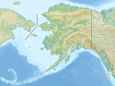 Location of the mouth of the Kuzitrin River in Alaska | |
| Native name | Kurritqiun |
| Location | |
| Country | United States |
| State | Alaska |
| District | Nome Census Area |
| Physical characteristics | |
| Source | Kuzitrin Lake |
| • location | 13 miles (21 km) south of Imuruk Lake, Seward Peninsula |
| • coordinates | 65°26′59″N 163°48′43″W[1] |
| • elevation | 302 ft (92 m)[2] |
| Mouth | Imuruk Basin |
• location | 30 miles (48 km) southeast of Teller |
• coordinates | 65°10′03″N 165°25′12″W[1] |
• elevation | 7 ft (2.1 m)[1] |
| Length | 95 mi (153 km)[1] |
The river's name, from the Inuit, was recorded in 1900 by the United States Geological Survey. The United States Board on Geographic Names officially adopted the name in 1950.[1]
There is one former village site on the lower Kuzitrin, at Mary's Igloo. The village is abandoned but is still used for subsistence activities by people from the nearby village of Teller.[4]
See also
References
- "Kuzitrin River". Geographic Names Information System. United States Geological Survey. January 1, 2000. Retrieved September 20, 2013.
- Derived by entering source coordinates in Google Earth.
- Alaska Atlas & Gazetteer (7th ed.). Yarmouth, Maine: DeLorme. 2010. p. 132. ISBN 978-0-89933-289-5.
- "Erosion Information Paper – Mary's Igloo, Alaska" (PDF). U.S. Army Corps of Engineers. April 14, 2008. Retrieved September 20, 2013.