L'Île-Dorval
On January 1, 2002, as part of the 2002–2006 municipal reorganization of Montreal, it merged with the city of Montreal to become part of the borough of Dorval–L'Île-Dorval. After a change of government and a 2004 referendum it became independent once again, effective January 1, 2006.
Dorval Island | |
|---|---|
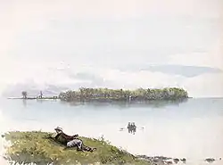
 Dorval Island as painted by Frances Anne Hopkins, 1866. | |
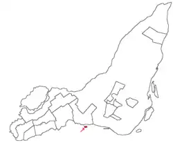
 Montreal and surrounding islands with L'Île-Dorval shown in red. | |
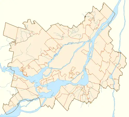
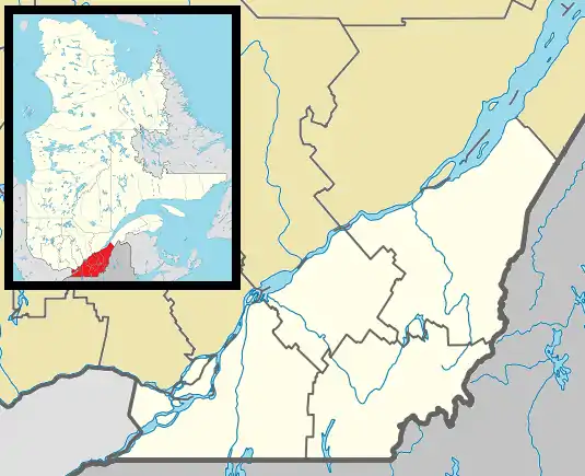
 Dorval Island Location in Greater Montreal  Dorval Island Location in southern Quebec. | |
| Coordinates: 45°25′56″N 73°44′29″W[1] | |
| Country | |
| Province | |
| Region | Montreal |
| RCM | None |
| Constituted | January 1, 2006 |
| Government | |
| • Mayor | Gisèle Chapleau |
| • Federal riding | Dorval—Lachine—LaSalle |
| • Prov. riding | Marquette |
| Area | |
| • Total | 0.20 km2 (0.08 sq mi) |
| • Land | 0.18 km2 (0.07 sq mi) |
| Population (2011)[4] | |
| • Total | 5 |
| • Density | 27.7/km2 (72/sq mi) |
| • Pop 2006-2011 | |
| • Dwellings | 59 |
| Time zone | UTC−5 (EST) |
| • Summer (DST) | UTC−4 (EDT) |
| Postal code(s) | H9S 5W4 |
| Area code(s) | 514 and 438 |
| Website | liledorvalisland |
See also
- Hochelaga Archipelago
- List of islands of Quebec
References
- Reference number 388465 of the Commission de toponymie du Québec (in French)
- "Ministère des Affaires municipales, des Régions et de l'Occupation du territoire: L'Île-Dorval". Archived from the original on 2016-03-05. Retrieved 2018-11-28.
- "Parliament of Canada Federal Riding History: NOTRE-DAME-DE-GRÂCE--LACHINE (Quebec)". Archived from the original on 2012-10-06. Retrieved 2009-09-13.
- 2011 Statistics Canada Census Profile: L'Île-Dorval, Quebec
External links
- Voting right in Québec; Directeur général des élections du Québec
- Results of June 20, 2004 municipal referendums; Directeur général des élections du Québec
This article is issued from Wikipedia. The text is licensed under Creative Commons - Attribution - Sharealike. Additional terms may apply for the media files.