Lake Alajuela
Lake Alajuela (Spanish: Lago Alajuela) is an artificial lake in the Chagres River basin. The lake is bounded by the Madden Dam and linked to the Panama Canal. Lake Alajuela serves as a reservoir for the canal, which lies to the lake's southwest.[2] It was created in 1935. The Chagres, Pequení, Boquerón, Salamanca, La Puente, Indio, Piedras, San Cristóbal and Escandaloso rivers flow into the lake. The rivers of Lake Alajuela contribute 45 percent of the total water for the canal.[3]
| Lake Alajuela | |
|---|---|
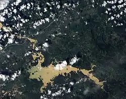 Natural-color satellite image of Lake Alajuela | |
 Lake Alajuela | |
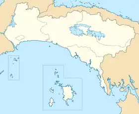
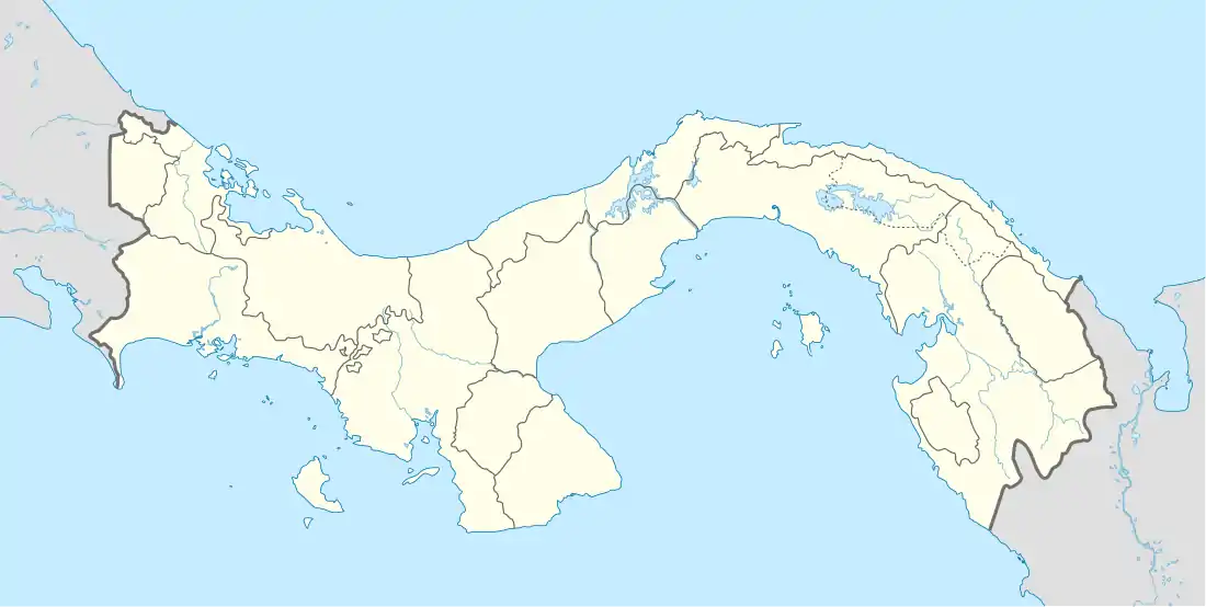
| Location | Panamá Province, Panama |
| Coordinates | 9°14′04″N 79°34′32″W |
| Lake type | Reservoir |
| Primary outflows | Panama Canal |
| Catchment area | 1,026 km2 (396 sq mi) |
| Basin countries | Panama |
| Surface area | 50.2 km2 (19.4 sq mi) |
| Water volume | ca. 600 hm3 (2.1×10¹⁰ cu ft)[1]) |
| Surface elevation | 76.8 m (252 ft) |
The reservoir was formerly known as Madden Lake when the Canal Zone was under U.S. administration and was renamed after control of the canal reverted to Panama.[2]
In early December 2010, Lake Alajuela reached its highest recorded water level, prompting authorities to close the Panama Canal for 17 hours.[2] The canal reopened on December 9.
References
- Hulman, Lewis G. (1972). "System Relationships a Panama Canal Water Supply Study". Water Resources Research. 8 (3): 774–778. doi:10.1029/WR008i003p00769. hdl:2027/uc1.31210024723247.
- "Lago Alajuela, Panama". NASA.
- Fundación Parque Nacional Chagres. "Parque Nacional Chagres: Hidrología". Archived from the original on 9 May 2012. Retrieved 28 July 2012.