List of crossings of the Merrimack River
This is a list of bridges and other crossings of the Merrimack River from its mouth in the Gulf of Maine at Newburyport, Massachusetts, upstream to its source at the merger of two rivers in Franklin, New Hampshire. Some pedestrian bridges and abandoned bridges are also listed.
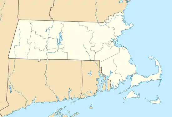
River mouth
River source
Crossings
| Crossing | Carries | Location | Built | Coordinates | References |
|---|---|---|---|---|---|
Massachusetts | |||||
| Gillis Memorial Bridge | Newburyport and Salisbury | 42°48′57.89″N 70°52′24.29″W | |||
| Newburyport Railroad Bridge | Newburyport Railroad | 42°48′57.40″N 70°52′22.27″W | [1] | ||
| Chain Bridge | Spofford Street (south bank to Deer Island) | Newburyport and Amesbury | 42°50′1.19″N 70°54′24.53″W | ||
| Derek S. Hines Memorial Bridge | Spofford Street (north bank to Deer Island) | 42°50′7.53″N 70°54′26.97″W | |||
| John Greenleaf Whittier Bridge | 1951 | 42°50′4.12″N 70°54′42.24″W | [2] | ||
| Rocks Village Bridge | East Main Street | Haverhill and West Newbury | 42°48′38.54″N 70°59′59.69″W | ||
| Bates Bridge | Groveland Street | Haverhill and Groveland | 42°45′49.88″N 71°2′2.92″W | ||
| Basiliere Bridge | Haverhill | 42°46′25.43″N 71°4′34.46″W | [3] | ||
| Joseph C. Comeau Bridge | 42°46′14.08″N 71°5′13.03″W | ||||
| Antonio Franciosa Memorial Bridge | 42°45′15.98″N 71°7′38.37″W | ||||
| O'Reilly Memorial Bridge | Lawrence | 42°42′23.93″N 71°8′18.78″W | |||
| Duck Bridge | South Union Street | 42°42′15.51″N 71°9′12.14″W | |||
| Joseph W. Casey Bridge | Parker Street | 42°42′12.77″N 71°9′37.34″W | |||
| E.F. O'Leary Bridge | 42°42′4.32″N 71°9′55.93″W | ||||
| Merrimack-Methuen Bridge | Methuen and Andover | 42°42′1.82″N 71°12′35.27″W | |||
| Hunts Falls Bridge | Lowell | 1959 | 42°38′48.76″N 71°17′57.39″W | ||
| John E. Cox Memorial Bridge | Bridge Street | 1937 (Crossing dates to 1830s[4]) | 42°38′53.30″N 71°18′18.55″W | [5] | |
| Ouellette Memorial Bridge | Aiken Street / Aiken Avenue | 1883 | 42°39′17.01″N 71°18′55.51″W | [6] | |
| Richard P. Howe Bridge | University Avenue | 2013 | 42°39′5.76″N 71°19′29.14″W | ||
| O'Donnell Bridge | School Street / Mammoth Rd | 2005 (Rebuilt from a bridge built in 1917, crossing dates to 1792[7]) | 42°38′58.36″N 71°19′49.98″W | [8] | |
| Rourke Bridge | Wood Street | 1983 | 42°38′18.58″N 71°21′24.31″W | The bridge is a "temporary" structure, but it might be replaced by a permanent structure soon. | |
| Tyngsborough Bridge | Tyngsborough | 1932, Rebuilt 1975 | 42°40′33.66″N 71°25′16.33″W | ||
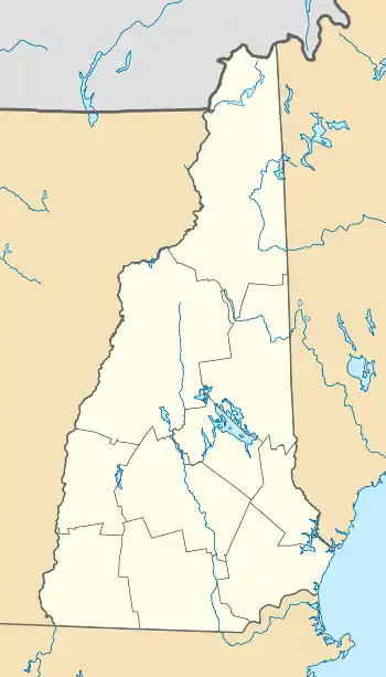
New Hampshire | |||||
| Sagamore Bridge | Circumferential Highway | Nashua and Hudson | 1973 (twinned in 2000) | 42°43′27″N 71°26′17″W | |
| Taylor Falls Bridge | 1970 (Taylor Falls/eastbound span) & 1973 (Veterans Memorial/westbound span) | 42°45′48″N 71°26′37″W | |||
| Pearl Harbor Memorial Bridge | Manchester Airport Access Road (Raymond Wieczorek Drive) | Bedford and Manchester | 2011 | 42°54′48″N 71°27′11″W | |
| Queen City Bridge | Manchester | 1923 | 42°58′27″N 71°28′19″W | ||
| Granite Street Bridge | 1981 | 42°59′7″N 71°28′11″W | |||
| Notre Dame Bridge | 1988 (twinned in 1990) | 42°59′39″N 71°28′10″W | |||
| Amoskeag Memorial Bridge | 1970 | 43°0′13″N 71°28′11″W | |||
| Main Street Bridge | Hooksett | 1976 | 43°5′44″N 71°27′52″W | ||
| Korea Veterans Memorial Bridge | Concord | 1998 | 43°11′35″N 71°31′26″W | ||
| World War II Veterans Memorial Bridge | 1966 | 43°12′32″N 71°31′50″W | |||
| Vietnam & Gulf War Veterans Memorial Bridge | 1978 | 43°13′10″N 71°31′23″W | |||
| Sewalls Falls Road Bridge | 1915 | 43°16′16″N 71°33′53″W | |||
| New Hampshire Veterans Memorial Bridge | Boscawen and Canterbury | 2005 | 43°17′24″N 71°35′15.43″W | ||
| Boscawen-Canterbury Bridge | 1907 | 43°19′3.32″N 71°37′5″W | Bridge removed in 2014[9] | ||
River source at confluence of the Pemigewasset and Winnipesaukee rivers in Franklin, New Hampshire at 43°26′12″N 71°38′54″W.
River source
- An italicized entry in the "name" column means that the real name is missing.
References
- "Archived copy" (PDF). Archived from the original (PDF) on November 27, 2009. Retrieved September 17, 2009.CS1 maint: archived copy as title (link)
- http://www.mhd.state.ma.us/default.asp?pgid=bridge/whittier&sid=bridgeData Archived September 12, 2009, at the Wayback Machine
- "Archived copy". Archived from the original on October 7, 2009. Retrieved September 17, 2009.CS1 maint: archived copy as title (link)
- "Archived copy". Archived from the original on January 8, 2009. Retrieved October 27, 2009.CS1 maint: archived copy as title (link)
- "Archived copy". Archived from the original on February 17, 2012. Retrieved September 18, 2009.CS1 maint: archived copy as title (link)
- "Archived copy". Archived from the original on February 17, 2012. Retrieved September 18, 2009.CS1 maint: archived copy as title (link)
- http://library.uml.edu/clh/Pawt/Paw2.Html
- "Archived copy". Archived from the original on February 17, 2012. Retrieved September 18, 2009.CS1 maint: archived copy as title (link)
- Iain Wilson (November 19, 2014). "After 100 years, Canterbury/Boscawen bridge knocked down, removed". Concord Monitor. Retrieved July 20, 2015.
External links
This article is issued from Wikipedia. The text is licensed under Creative Commons - Attribution - Sharealike. Additional terms may apply for the media files.