Loch Shin
Loch Shin (Scottish Gaelic: Loch Sìn, pronounced [l̪ˠɔx ˈʃiːn]) is a loch in the Scottish North West Highlands. To the south is the small town of Lairg. The loch, the largest in Sutherland, runs from the north-west to the south-east and is 17 miles (27 kilometres) long.[1]
| Loch Shin | |
|---|---|
 | |
 Loch Shin | |
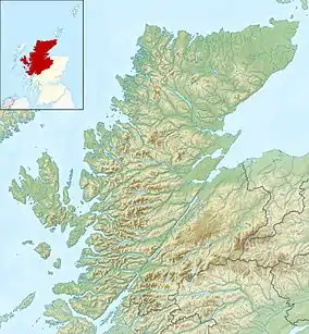
| Location | North West Scottish Highlands |
| Coordinates | 58°6′N 4°32′W |
| Type | freshwater loch, reservoir |
| Primary outflows | River Shin |
| Basin countries | Scotland |
| Max. length | 17 mi (27 km) |
In the 1950s, the level of the loch was raised by over 30 feet (9 metres) by the construction of Lairg Dam[2] by Wimpey Construction as part of a hydro-electric scheme.[3]
Around the loch are some mountain ranges; the 3,273-foot (998-metre) Ben More Assynt in the west and Ben Klibreck (3,154 ft or 961 m) to the east. The loch drains to the North Sea by way of the short River Shin that feeds into the Dornoch Firth at Bonar Bridge.
Three miles to the north of Lairg is a monument to remember an early attempt to tame the Highlands. During the 1870s, the Duke of Sutherland ploughed up about 2,000 acres (800 hectares), but the industry never rewarded that. Today the area around the loch is one of the major farming centres for sheep in Scotland.
References
- "Shin, Loch". Gazetteer for Scotland. Retrieved 17 December 2014.
- "Lairg Power Station and Dam". RCAHMS. Retrieved 17 December 2014.
- White, p. 32
Sources
- White, Valerie (1980). Wimpey: The first hundred years. George Wimpey.