Marinka Point
Marinka Point (Bulgarian: нос Маринка, ‘Nos Marinka’ \'nos ma-'rin-ka\) is the narrow rocky point projecting 400 m from the north coast of Pasteur Peninsula and forming the north extremity of Brabant Island in the Palmer Archipelago, Antarctica.
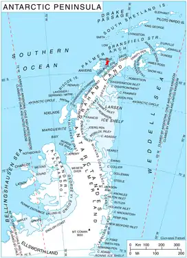
Location of Brabant Island in the Antarctic Peninsula region.
The point is named after the settlement of Marinka in Southeastern Bulgaria.
Location
Marinka Point is located at 64°00′27″S 62°23′23″W, which is 4.5 km east by north of Cape Roux and 4.3 km west by north of Cape Cockburn. British mapping in 1980 and 2008.
Maps
- Antarctic Digital Database (ADD). Scale 1:250000 topographic map of Antarctica. Scientific Committee on Antarctic Research (SCAR). Since 1993, regularly upgraded and updated.
- British Antarctic Territory. Scale 1:200000 topographic map. DOS 610 Series, Sheet W 64 62. Directorate of Overseas Surveys, Tolworth, UK, 1980.
- Brabant Island to Argentine Islands. Scale 1:250000 topographic map. British Antarctic Survey, 2008.
References
- Bulgarian Antarctic Gazetteer. Antarctic Place-names Commission. (details in Bulgarian, basic data in English)
- Marinka Point. SCAR Composite Antarctic Gazetteer
External links
- Marinka Point. Copernix satellite image
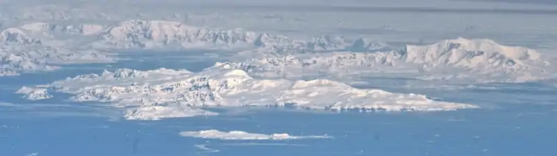
Brabant Island from northeast, with Anvers Island (on the right) and Antarctic Peninsula in the background; Pasteur Peninsula is seen as the nearest part of the island on the right.
This article includes information from the Antarctic Place-names Commission of Bulgaria which is used with permission.
This article is issued from Wikipedia. The text is licensed under Creative Commons - Attribution - Sharealike. Additional terms may apply for the media files.