Mendocino Pass
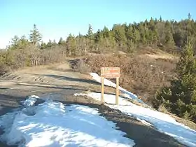
Mendocino Pass is a mountain pass located in the Northern Coast Ranges in California. The pass, in the extreme northwest corner of Glenn County, is at an elevation of about 5,006 feet (1,526 m) and at the gap, two dirt roads intersect.[2][3] One of them is US Forest Highway 7, a dirt road connecting two disjointed sections of State Route 162.[4] The pass and dirt roads are closed in winter due to heavy snowfall.[2][5]
| Mendocino Pass | |
|---|---|
 | |
| Elevation | 4,984 ft (1,519 m)[1] |
| Traversed by | |
| Location | Glenn County, California, U.S. |
| Range | Northern Coast Ranges |
| Coordinates | 39°47′40″N 122°56′06″W[1] |
| Topo map | USGS Mendocino Pass |
References
- "Mendocino Pass". Geographic Names Information System. United States Geological Survey.
- California State Map, 2007.
- "Mendocino Pass, USGS Mendocino Pass (CA) Topo Map". USGS Quad maps. TopoQuest.com. Retrieved 2008-06-30.
- Google Earth images.
- "Subsection M261Ba - Eastern Franciscan". U.S. Forest Service. Archived from the original on 2009-01-20. Retrieved 2007-11-20.
This article is issued from Wikipedia. The text is licensed under Creative Commons - Attribution - Sharealike. Additional terms may apply for the media files.