Mikov Nunatak
Mikov Nunatak (Bulgarian: Миков нунатак, romanized: Mikov nunatak, IPA: [ˈmikof ˈnunɐtak]) is the rocky ridge 1.35 km long in northwest–southeast direction and 590 m wide, rising to 750 m in the upper course of Zaychar Glacier and linked on the northwest to Detroit Plateau on Nordenskjöld Coast in Graham Land, Antarctica.[1]
The feature is named after Miki Mikov, radio engineer at St. Kliment Ohridski base during the 1994/95 Bulgarian Antarctic campaign, which set the longterm directions of the Bulgarian Antarctic research.[1]
Location
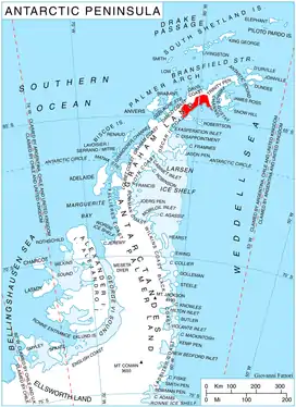
Mikov Nunatak is located at 64°30′39.4″S 60°24′21″W, which is 2.47 km southwest of Batkun Peak in Grivitsa Ridge and 1.73 km north of the summit of Kableshkov Ridge. British mapping in 1978.
Maps
- British Antarctic Territory. Scale 1:200000 topographic map. DOS 610 Series, Sheet W 64 60. Directorate of Overseas Surveys, UK, 1978
- Antarctic Digital Database (ADD). Scale 1:250000 topographic map of Antarctica. Scientific Committee on Antarctic Research (SCAR). Since 1993, regularly upgraded and updated
Notes
- Mikov Nunatak. SCAR Composite Gazetteer of Antarctica
References
- Mikov Nunatak. SCAR Composite Gazetteer of Antarctica
- Bulgarian Antarctic Gazetteer. Antarctic Place-names Commission. (details in Bulgarian, basic data in English)
External links
- Mikov Nunatak. Adjusted Copernix satellite image
This article includes information from the Antarctic Place-names Commission of Bulgaria which is used with permission.