Milakokia River
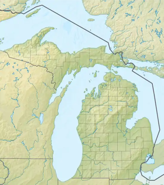
The Milakokia River is a 17.6-mile-long (28.3 km)[1] river on the Upper Peninsula of Michigan in the United States. It flows through Mackinac County and Schoolcraft County before emptying into Lake Michigan near Port Inland. The source of the river is Milakokia Lake.[2]
| Milakokia River | |
|---|---|
  | |
| Location | |
| Country | United States |
| State | Michigan |
| Physical characteristics | |
| Source | Milakokia Lake |
| • coordinates | 46.0777222°N 85.8070418°W |
| Mouth | Lake Michigan |
• location | Port Inland |
• coordinates | 45.9672044°N 85.8937247°W |
• elevation | 581 ft (177 m) |
| Length | 17.6 mi (28.3 km) |
See also
References
- U.S. Geological Survey. National Hydrography Dataset high-resolution flowline data. The National Map Archived 2012-04-05 at WebCite, accessed December 19, 2011
- Bauman, John. "Milakokia Lake (Pike Lake) Watershed" (PDF). Michigan DNR. Retrieved 24 November 2020.
This article is issued from Wikipedia. The text is licensed under Creative Commons - Attribution - Sharealike. Additional terms may apply for the media files.