Mina Vad
Mina Vad is a village in Badakhshan Province in north-eastern Afghanistan.[2]
Mina Vad | |
|---|---|
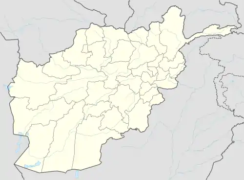 Mina Vad Location in Afghanistan | |
| Coordinates: 38°14′26″N 70°58′46″E | |
| Country | |
| Province | Badakhshan Province |
| Elevation | 8,428 ft (2,569 m) |
| Time zone | + 4.30 |
Geography
The village lies towards the northern edge of the Hindu Kush mountain range which crosses over into Pakistan and is at an elevation of 8,428 feet (2,569 m).[1]
Mina Vad is situated 3 miles (4.8 km) away from Kham-e Vorsa, 3.5 miles (5.6 km) away from Aylaq-i-Wundak, 1.8 miles (2.9 km) away from Khevaj and 0.4 miles (640 m) away from Mizak.[1]
Transport
The nearest airport is 51 miles (82 km) to the north, at Khorog.[1]
See also
References
- "Maps, Weather, and Airports for Mina Vad, Afghanistan". FallingRain Genomics. Retrieved 2008-06-03.
- "NGA GeoName Database". National Geospatial Intelligence Agency. Archived from the original on 2008-05-22. Retrieved 2008-06-03.
External links
This article is issued from Wikipedia. The text is licensed under Creative Commons - Attribution - Sharealike. Additional terms may apply for the media files.