Molepolole Airport
Molepolole Airport (ICAO: FBML) was an airport serving Molepolole, Botswana.
Molepolole Airport | |||||||||||
|---|---|---|---|---|---|---|---|---|---|---|---|
| Summary | |||||||||||
| Airport type | Closed | ||||||||||
| Serves | Molepolole, Botswana | ||||||||||
| Elevation AMSL | 3,790 ft / 1,155 m | ||||||||||
| Coordinates | 24°23′22″S 25°29′55″E | ||||||||||
| Map | |||||||||||
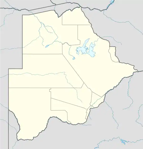 FBML Closed Location of Molepolole Airport in Botswana | |||||||||||
| Runways | |||||||||||
| |||||||||||
Google Earth Historical Imagery (September 2002) shows a 1,125 metres (3,691 ft) dirt runway. Current Google Maps imagery shows the runway overbuilt with buildings and a large parking area.[1]
Other airports in the area include Thebephatshwa Airport, 22 kilometres (14 mi) northwest, and Sir Seretse Khama International Airport, 44 kilometres (27 mi) southeast, by Gaborone.
See also
 Aviation portal
- Transport in Botswana
- List of airports in Botswana
References
- Airport record for Molepolole Airport at Landings.com. Retrieved 2013-09-02
- Google (2013-09-02). "location of Molepolole Airport" (Map). Google Maps. Google. Retrieved 2013-09-02.
This article is issued from Wikipedia. The text is licensed under Creative Commons - Attribution - Sharealike. Additional terms may apply for the media files.