Monte Catria
The Monte Catria is a mountain in the central Apennines, in the province of Pesaro e Urbino, Marche, central Italy. The highest peak is at 1,702 metres (5,584 ft) above sea level.
| Monte Catria | |
|---|---|
 Panorama from Arcevia | |
| Highest point | |
| Elevation | 1,702 m (5,584 ft) |
| Prominence | 1,065 m (3,494 ft) |
| Coordinates | 43°27′42″N 12°42′16″E |
| Geography | |
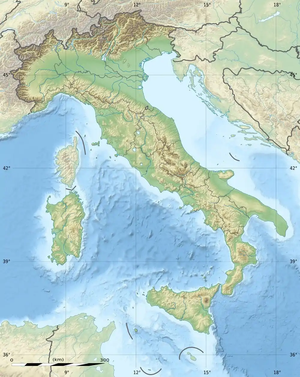 Monte Catria Location in Italy | |
| Location | Marche, Italy |
| Parent range | Central Apennines |
It is a massif of limestone rocks dating to some 200 million years ago.
Historically, it marked the boundary between the Exarchate of Ravenna and the Duchy of Spoleto
The source of the Cesano river is located nearby.
This article is issued from Wikipedia. The text is licensed under Creative Commons - Attribution - Sharealike. Additional terms may apply for the media files.