Mount Bruce (Western Australia)
Mount Bruce is the second highest mountain in the state of Western Australia.
| Mount Bruce | |
|---|---|
| Punurrunha | |
 Mount Bruce | |
| Highest point | |
| Elevation | 1,234 m (4,049 ft) |
| Coordinates | 22°34′05″S 118°04′34″E |
| Geography | |
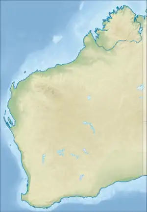
| Location | Pilbara region, Western Australia |
| Parent range | Hamersley Range |
Mount Bruce lies 62 kilometres (39 mi) northwest of Mount Meharry, the highest peak in the state. It is a part of the Hamersley Range in the Pilbara. A number of walks exist on the mountain including the relatively easy Marandoo walk that offers a view over the Marandoo minesite, the more difficult Honey Hakea walk and the summit track.
Mount Bruce reaches 1,234 m (4,049 ft), being 15 m (49 ft) lower than Mount Meharry.
The Aboriginal name for the mountain is Punurrunha.[1]
References
- "Mount Bruce (Punurrunha)". Drive WA. 2010. Archived from the original on 15 April 2016. Retrieved 2 June 2011.
This article is issued from Wikipedia. The text is licensed under Creative Commons - Attribution - Sharealike. Additional terms may apply for the media files.