Mount Lewis (Nevada)
Mount Lewis is the highest peak in the Shoshone Range in Lander County, Nevada, United States. It is the most topographically prominent peak in Lander County and the twentieth-most prominent peak in Nevada.[4] The peak is located about 14 miles southeast of the town of Battle Mountain.[1] An FAA Long Range Air Route Surveillance Radar station is located just west of the summit.[5] The peak is on public land administered by the Bureau of Land Management and thus has no access restrictions.
| Mount Lewis | |
|---|---|
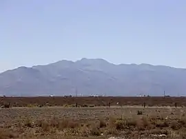 View of Mount Lewis from Interstate 80 near Battle Mountain | |
| Highest point | |
| Elevation | 9,678 ft (2,950 m) NAVD 88[1] |
| Prominence | 4,280 ft (1,305 m) [2] |
| Coordinates | 40°24′12″N 116°51′41″W [1] |
| Geography | |
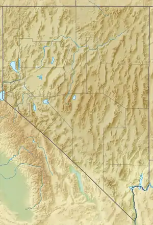 Mount Lewis Nevada, U.S. | |
| Location | Lander County, Nevada, U.S. |
| Parent range | Shoshone Range |
| Topo map | USGS MT LEWIS |
| Climbing | |
| Easiest route | A well-maintained gravel road ascends directly to the summit[3] |
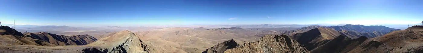
Summit panorama
References
- "MT LEWIS". NGS data sheet. U.S. National Geodetic Survey. Retrieved 2014-10-12.
- "Mount Lewis, Nevada". Peakbagger.com. Retrieved 2014-10-12.
- "Mount Lewis". SummitPost.org.
- "Nevada Peaks with 2000 feet of Prominence". Peakbagger.com. Retrieved 2014-10-23.
- "Air Defense Radar Stations - Information for Battle Mountain, NV (FAA site)". Radomes, Inc. Retrieved 2014-10-12.
| Wikimedia Commons has media related to Mount Lewis (Nevada). |
This article is issued from Wikipedia. The text is licensed under Creative Commons - Attribution - Sharealike. Additional terms may apply for the media files.