Mount Morungole
Mount Morungole lies within the Kidepo Valley National Park, north-east Uganda, Africa. It is in the rugged, semi-arid Karamoja province near the border with the Sudan. Neighbouring peaks are Mount Zulia, and the Labwor and Dodoth Hills reach heights in excess of 2,000 meters.
| Mount Morungole | |
|---|---|
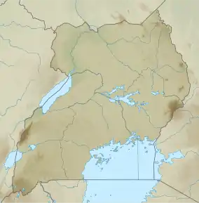 Mount Morungole Map of Uganda | |
| Highest point | |
| Elevation | 2,749 m (9,019 ft) |
| Coordinates | 3°49′N 34°2′E |
| Geography | |
| Location | Kidepo Valley National Park, Uganda |
| Geology | |
| Mountain type | Mountain |
The local inhabitants were the Ik, who were moved by a previous administration. They were attached to Mount Morungole considering it a sacred place.[1]
This article is issued from Wikipedia. The text is licensed under Creative Commons - Attribution - Sharealike. Additional terms may apply for the media files.