Mykolaivka, Petrykivka Raion, Dnipropetrovsk Oblast
Mykolaivka (Ukrainian: Миколаївка; Russian: Николаевка) is an urban-type settlement in Petrykivka Raion of Dnipropetrovsk Oblast in Ukraine. It is located on the right bank of the Dnieper, across the river from the city of Kamianske. Population: 1,173 (2020 est.)[1]
Mykolaivka
Миколаївка | |
|---|---|
Urban-type settlement | |
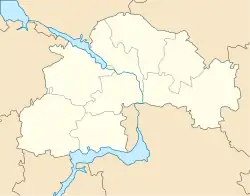 Mykolaivka Location in Dnipropetrovsk Oblast 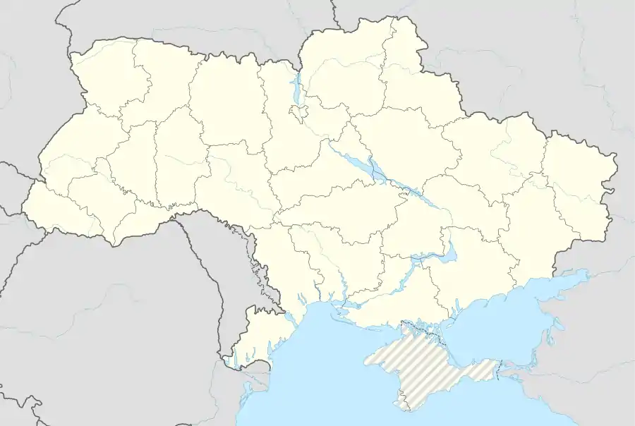 Mykolaivka Location in Ukraine | |
| Coordinates: 48°32′27″N 34°42′27″E | |
| Country | Ukraine |
| Oblast | Dnipropetrovsk Oblast |
| Raion | Petrykivka Raion |
| Population (2020) | |
| • Total | 1,173[1] |
| Time zone | UTC+2 (EET) |
| • Summer (DST) | UTC+3 (EEST) |
Economy
Transportation
Mykolaivka has access to Highway H08 which connects Kamianske and Kremenchuk, as well as to Highway H31 connecting Dnipro and Reshetylivka with further access to Poltava and Kyiv.
The closest railway station (52 km) is in Kurylivka on the railway connecting Kamianske and Dnipro via Balivka, approximately 10 kilometres (6.2 mi) from the settlement. There is infrequent passenger traffic.
References
- "Чисельність наявного населення України (Actual population of Ukraine)" (PDF) (in Ukrainian). State Statistics Service of Ukraine. Retrieved 30 September 2020.
| Raions | |||||
|---|---|---|---|---|---|
| Hromadas | |||||
| Cities |
| ||||
| |||||
This article is issued from Wikipedia. The text is licensed under Creative Commons - Attribution - Sharealike. Additional terms may apply for the media files.