National Register of Historic Places listings in Nye County, Nevada
Contents: List of Registered Historic Places in Nye County, Nevada, USA:
The locations of National Register properties and districts (at least for all showing latitude and longitude coordinates below), may be seen in an online map by clicking on "Map of all coordinates".[1]
- This National Park Service list is complete through NPS recent listings posted January 29, 2021.[2]
Current listings
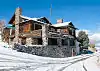
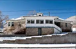
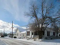
_near_Bryan_Avenue_in_Tonopah%252C_Nevada.jpg.webp)
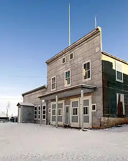
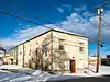
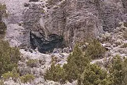
_in_Tonopah%252C_Nevada.jpg.webp)
Former listings
| [3] | Name on the Register | Image | Date listed | Date removed | Location | City or town | Summary |
|---|---|---|---|---|---|---|---|
| 1 | J. E. Smith Stone Duplex | July 26, 1982 (#82003245) | October 13, 2000 | 415 Florence |
Tonopah | Demolished in 1993[5] |
See also
| Wikimedia Commons has media related to National Register of Historic Places in Nye County, Nevada. |
References
- The latitude and longitude information provided in this table was derived originally from the National Register Information System, which has been found to be fairly accurate for about 99% of listings. Some locations in this table may have been corrected to current GPS standards.
- "National Register of Historic Places: Weekly List Actions". National Park Service, United States Department of the Interior. Retrieved on January 29, 2021.
- Numbers represent an alphabetical ordering by significant words. Various colorings, defined here, differentiate National Historic Landmarks and historic districts from other NRHP buildings, structures, sites or objects.
- The eight-digit number below each date is the number assigned to each location in the National Register Information System database, which can be viewed by clicking the number.
This article is issued from Wikipedia. The text is licensed under Creative Commons - Attribution - Sharealike. Additional terms may apply for the media files.