O'Neal Point
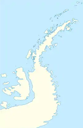
O'Neal Point is a headland on the east side of the Arctowski Peninsula, Danco Coast, Graham Land, Antarctica. The point stands between the entrances of Beaupre Cove and Piccard Cove in Wilhelmina Bay and lies two nautical miles (3.7 km) west of Pelseneer Island. Named after James D. O'Neal, cartographer, with the Special Maps Branch of the U.S. Geological Survey.[1] James D. O'Neal was United States Observer with the Chilean Antarctic Expedition, from October 1956 to April 1957, working in the South Shetland Islands and northwestern Antarctic Peninsula.
| O'Neal Point | |
|---|---|
 | |
| Location | Graham Land |
| Coordinates | 64°42′S 62°18′W |
| Area | Antarctica |
References
- Survey Order No. 220, Establishment of Special Maps Branch, dated December 5, 1952 in History of the Topographic Branch (Division) by Richard T. Evans and Helen M. Frye. Published Reston, Va. : U.S. Geological Survey, 2009. ISBN 978-1-4113-2612-5
![]() This article incorporates public domain material from the United States Geological Survey document: "O'Neal Point". (content from the Geographic Names Information System)
This article incorporates public domain material from the United States Geological Survey document: "O'Neal Point". (content from the Geographic Names Information System) ![]()
This article is issued from Wikipedia. The text is licensed under Creative Commons - Attribution - Sharealike. Additional terms may apply for the media files.