Omulyakh Bay
The Omulyakh Bay (Russian: Омуляхская губа, Omulyakhskaya Guba) is a bay in the East Siberian Sea.
| Omulyakh Bay | |
|---|---|
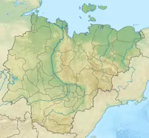 Omulyakh Bay Location in Sakha Republic | |
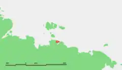 Map showing the location of the bay | |
| Location | Far North |
| Coordinates | 72.3333°N 145.2667°E |
| Native name | Омуляхская губа |
| Ocean/sea sources | East Siberian Sea |
| Basin countries | Russia |
| Max. length | 115 km (71 mi) |
| Max. width | 25 km (16 mi) |
Geography
This bay is located west of the Sundrun River region and east of the Yana Bay.
Omulyakh Bay is open to the east through a narrow and straight channel and is 115 km in length. Starting from its mouth the bay widens inside, until it reaches a width of 25 km. It has a curved inlet at its end. The Khromskaya Bay is very similar to this bay and lies only 40 km south. Both bays share the same mouth.[1]
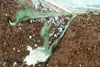
This bay is in an area of wetlands; lakes and marshes dot the whole landscape. Owing to is northerly location the Omullyakh Bay is covered with ice most of the year.
The Omulyakh Bay and the area surrounding it belong to the Sakha Republic (Yakutia) administrative division of the Russian Federation.