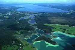
Osterseen
Osterseen is a group of lakes in Bavaria, Germany, about 50 km (31 miles) south-south-west of Munich. At an elevation of 588 m (1,929 feet), its surface area is 223.55 ha (552.4 acres).
| Osterseen | |
|---|---|
 | |
 Osterseen | |
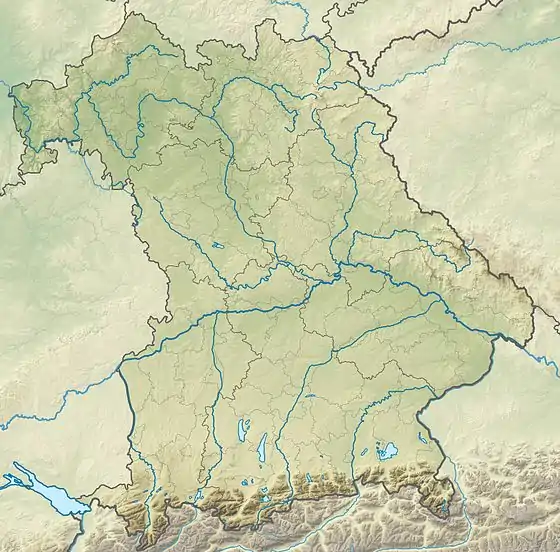
| Location | Bavaria |
| Coordinates | 47.7903°N 11.3042°E |
| Basin countries | Germany |
| Max. length | 5.2 km (3.2 mi) |
| Max. width | 1.0 km (0.62 mi) |
| Surface area | 223.55 ha (552.4 acres) |
| Average depth | 9.38 m (30.8 ft) |
| Max. depth | 29.7 m (97 ft) |
| Water volume | 20,975,100 m3 (740,730,000 cu ft) |
| Surface elevation | 588 m (1,929 ft) |
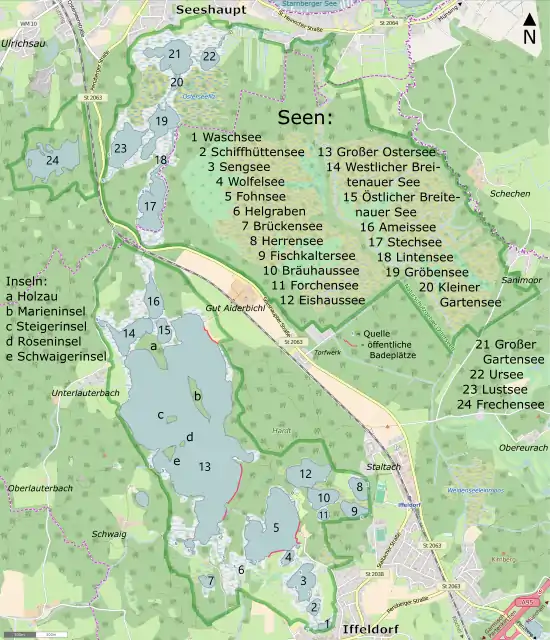
| Sections/sub-basins | Großer Ostersee, Waschsee, Schiffhüttensee, Sengsee, Wolfelsee, Fohnsee, Helgraben, Brückensee, Herrensee, Fischkaltersee, Bräuhaussee, Forchsee, Eishausse, Östlicher Breitenauer See, Westlicher Breitenauer See, Ameisensee, Stechsee, Lintensee, Gröbensee, Kleiner Gartensee, Großer Gartensee, Ursee, Lustsee |
| Settlements | Unterlauterbach, Staltach (Iffeldorf) |
Islands
sorted by water body:
Großer Ostersee
(islands starting from North to South)
- Holzau (6,1 hectares)
- Marieninsel (2,3 hectares, Length 440 m in north–south orientiation, width up to 80 metres)[1]
- Steigerinsel (0,45 ha), formerly Putzen Eila
- Roseninsel (0,013 ha oder 130 m2, actually two very small islands)
- Schwaigerinsel (0,75 ha, 40 m distance from western bank)
Frechensee
- unnamed island, c. 20 m distance from northern bank (0,09 ha)
- unnamed island, c. 25 m from western bank (0,13 ha)
Map
Map
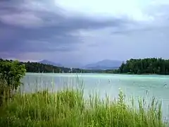
Grosser Ostersee
See also
- List of lakes in Bavaria
References
- Historische Flurkarte (Bayerische Uraufnahme) im BayernAtlas
External links
| Wikimedia Commons has media related to Osterseen. |
- Nixdorf, B.; et al. (2004), "Großer Ostersee", Dokumentation von Zustand und Entwicklung der wichtigsten Seen Deutschlands (in German), Berlin: Umweltbundesamt, p. 30
This article is issued from Wikipedia. The text is licensed under Creative Commons - Attribution - Sharealike. Additional terms may apply for the media files.