Pangda
Pangda (庞达村) is a village just east of the Doklam plateau and approximately 10 km east of the India-Bhutan-China trijunction. The village was constructed by China in 2020 along the Torsa River.
Pangda
庞达 | |
|---|---|
Village | |
 Doklam area | |
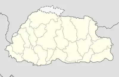 Pangda Location of Pangda in Bhutan | |
| Coordinates: 27°18′25.1994″N 89°0′28.7994″E | |
| Country | Unknown |
| Elevation | 2,140 m (7,020 ft) |
| Population | |
| • Estimate (2020) | 124 |
Media reports in November 2020 said that the village was constructed approximately 2 kilometres (1.2 mi) within Bhutanese territory without Bhutan's consent based on third-party satellite images.[1][2][3][4] This was later denied by Bhutan and China.[2][3][4]
History
Background
In 2017, Indian and Chinese forces skirmished along the Doklam plateau after Chinese attempts to extend a road across the Doka La stream and towards an Indian border post.[5] After several injuries on both sides, India and China withdrew their forces on 18 August to previously held positions, effectively ending the standoff.[6] Despite the de-escalation, satellite imagery shows that China continued to develop and reinforce the disputed region along the border.[2]
Pangda village
Satellite images on 28 October 2020 show the village on the banks of the Torsa River. Chinese state media claims that the residents of the new village had moved there as early as September from Shangdui village in Yadong county.[3]
In November 2020, media reports said that the village was constructed approximately 2 kilometres (1.2 mi) within Bhutanese territory without Bhutan's consent based on third-party open source maps.[1][2][3][4] The reports were denied by the Chinese Ministry of Foreign Affairs, The Bhutanese, and the Bhutanese ambassador to India, who said that "there is no Chinese village inside Bhutan."[2][3][4]
Geography
Pangda village was constructed directly on the banks of the Torsa River, 10 km south of any other Chinese settlement in the region.[7] It appears to have been constructed on a sandbank, and is located in a river valley in the Eastern Himalayas. There is one road that leads out of the village, and a small retaining wall was constructed to keep floodwaters out of the village.[2]
Demographics
According to Chinese state media, there are 27 households in the village and a total of 124 people.[3] There are two administrative buildings in the village, and the villagers are reported to be primarily employed in tourism, fishing, and border patrol.[4]
References
- "China Sets Up Village Within Bhutan, 9 Km From Doklam Face-Off Site". NDTV.com. Retrieved 2020-11-24.
- James Griffiths and Manveena Suri. "Satellite images appear to show China developing area along disputed border with India and Bhutan". CNN. Retrieved 2020-11-24.
- Krishnan, Ananth (2020-11-23). "China's media show new Bhutan border village built in disputed territory". The Hindu. ISSN 0971-751X. Retrieved 2020-11-24.
- Zhen, Liu; Purohit, Kunal (6 December 2020). "Near the China-Bhutan-India border, a new village is drawing attention to old disputes". South China Morning Post. Retrieved 7 December 2020.
- Shaurya Karanbir Gurung (3 July 2017), "Behind China's Sikkim aggression, a plan to isolate Northeast from rest of India", Economic Times, archived from the original on 24 August 2017
- India, China agree to pull back troops to resolve tense border dispute Archived 29 August 2017 at the Wayback Machine, The Washington Post, 28 August 2017
- "Why so much interest in new village near the China-Bhutan-India border?". South China Morning Post. 2020-12-06. Retrieved 2020-12-10.