Pico Polaco
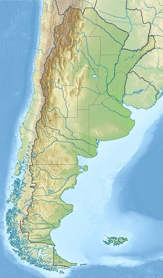
Pico Polaco is a mountain located in Argentina with a height of 5,950 metres (19,521 ft). It is located at Calingasta Department, San Juan Province, at the Cordillera de la Ramada.
| Pico Polaco | |
|---|---|
 Pico Polaco Argentina | |
| Highest point | |
| Elevation | 5,950 m (19,520 ft) [1] |
| Prominence | 495 metres (1,624 ft) |
| Parent peak | La Mesa |
| Coordinates | 32°1′43.32″S 070°6′34.19″W |
| Geography | |
| Countries | Argentina |
| Parent range | Cordillera de la Ramada, Andes |
| Climbing | |
| First ascent | 21204 - Antonio Beorchia Nigris (Italia) and Edgardo Yacante (Argentina) |
Location
It is located at Calingasta Department, San Juan Province, at the Cordillera de la Ramada. The name was given to the peak following the first ascent, after the Polish climbers (who were the first explorers) in honor of their achievements within the Cordillera la Ramada. The Polish expedition referred to the mountain as Innominata ("Unnamed").
Elevation
It has an official height of 5965 meters[2]Based on the elevation provided by the available Digital elevation models, SRTM (5936m[3]), SRTM2 (5920m[4]), ASTER (5913m[5]), SRTM filled with ASTER (5920m[5]), TanDEM-X(5827m[6]), Pico Polaco is about 5950 meters above sea level.[7][1]
The height of the nearest key col is 5455 meters,[7] so its prominence is 495 meters. Pico Polaco is listed as mountain, based on the Dominance system [8] and its dominance is 8.32%. Its parent peak is La Mesa and the topographic isolation is 4 kilometers. [1] This information was obtained during a research by Suzanne Imber in 2014.[9]
First ascent
The first attempt to climb the mountain was by a Polish expedition in 1934, abandoned due to bad weather and one of the team members' foot injury.[10] The first successful ascent was done in 1958 by Argentine climbers A. Beorchia and E. Yacante.
Notes
- "Pico Polaco". Andes Specialists. Retrieved 12 April 2020.
- "IGN Argentina". IGN Argentina. 14 April 2020. Retrieved 14 April 2020.
- USGS, EROS Archive. "USGS EROS Archive - Digital Elevation - SRTM Coverage Maps". Retrieved 12 April 2020.
- NASA, Jet Propulsion Laboratory. "Shuttle Radar Topographic Mission - Filled Data V2". Retrieved 12 April 2020.
- "ASTER GDEM Project". ssl.jspacesystems.or.jp. Retrieved 14 April 2020.
- TanDEM-X, TerraSAR-X. "Copernicus Space Component Data Access". Retrieved 12 April 2020.
- "Andean Mountains - All above 5000m". Andes Specialists. Retrieved 12 April 2020.
- "Dominance - Page 2". www.8000ers.com. Retrieved 12 April 2020.
- ap507. "Academic and adventurer describes the incredible task of climbing and cataloguing one of the most remote regions of the South American Andes mountains — University of Leicester". www2.le.ac.uk. Retrieved 12 April 2020.
- S. W. Daszynski, "A Polish Expedition to the High Andes", in The Geographical Journal, vol. 84, no. 3 (September 1934), pp. 215-223 (https://polona.pl/item/1761618/1/)