Pike Creek Hills
The Pike Creek Hills, are a small range of hills 8.3 miles (13.4 km) west of the community of Flatwillow in Petroleum and Fergus counties in Montana.[1][2] The highest elevation is an unnamed peak at 4,032 feet (1,229 m) with the stream valleys of Pike Creek to the north and Flatwillow Creek to the south at around 3,500 ft (1,100 m).[1] The east end of the Little Snowy Mountains lie 12 miles (19 km) to the west.[3]
| Pike Creek Hills | |
|---|---|
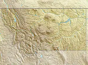 Pike Creek Hills Location in Montana | |
| Highest point | |
| Elevation | 4,032 ft (1,229 m) |
| Coordinates | 46°49′41″N 108°37′24″W [1] |
| Dimensions | |
| Length | 3.2 mi (5.1 km) E-W |
| Width | 1.5 mi (2.4 km) N-S |
| Geography | |
| Country | United States |
| State | Montana |
See also
References
- Pike Creek Hills East, Montana, 7.5 Minute Quadrangle, USGS, 1986
- Pike Creek Hills West, Montana, 7.5 Minute Quadrangle, USGS, 1986
- Musselshell, Montana, 30x60 Minute Quadrangle, USGS, 1993
This article is issued from Wikipedia. The text is licensed under Creative Commons - Attribution - Sharealike. Additional terms may apply for the media files.