Piz Buin
Piz Buin (German pronunciation: [ˌpits buˈiːn] (![]() listen)) is a mountain in the Silvretta range of the Alps on the border between Austria and Switzerland. It forms the border between the Swiss canton of Graubünden and the Austrian state of Vorarlberg and is the highest peak in Vorarlberg.
listen)) is a mountain in the Silvretta range of the Alps on the border between Austria and Switzerland. It forms the border between the Swiss canton of Graubünden and the Austrian state of Vorarlberg and is the highest peak in Vorarlberg.
| Piz Buin | |
|---|---|
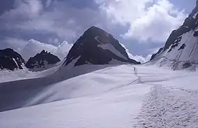 View from the Ochsentaler Glacier, July 2001 | |
| Highest point | |
| Elevation | 3,312 m (10,866 ft) |
| Prominence | 544 m (1,785 ft) [1] |
| Parent peak | Fluchthorn |
| Isolation | 6.1 km (3.8 mi) [2] |
| Listing | Alpine mountains above 3000 m |
| Coordinates | 46°50′44″N 10°07′11″E |
| Geography | |
 Piz Buin Location in the Alps 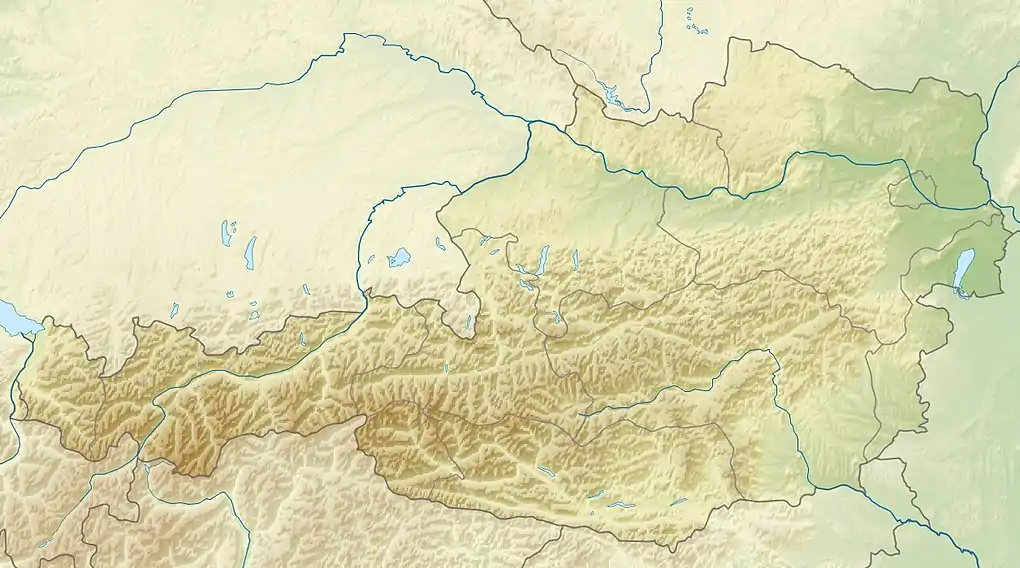 Piz Buin Location in Austria  Piz Buin Location in Switzerland | |
| Location | Vorarlberg, Austria Graubünden, Switzerland |
| Parent range | Silvretta Alps |
| Climbing | |
| First ascent | 14 July 1865 by Joseph Anton Specht und Johann Jakob Weilenmann, guided by Jakob Pfitscher und Franz Pöll. |
| Easiest route | glacier/snow climb |
Its original name in the Romansh language is Piz Buin Grand. A similar but smaller summit nearby is called Piz Buin Pitschen at 3,255 m (10,680 ft). Piz Buin was first climbed on 14 July 1865 by Joseph Anton Specht and Johann Jakob Weilenmann, guided by Jakob Pfitscher and Franz Pöll. Piz Buin Pitschen was climbed three years later.
Piz Buin can be reached from the Wiesbadener hut, crossing the Vermunt glacier, climbing up the Wiesbadener ridge and hiking over the Ochsentaler Glacier to the Buin gap. From the gap there is a zigzag walk to the top, with only a 20 m (65 ft) steep step to surmount before reaching the relatively flat summit space, which has an old wooden cross on the very top. The border between Switzerland and Austria crosses the summit from East to West.
See also
References
- Retrieved from the Swisstopo topographic maps. The key col is the Pass Futschöl (2,768 m)
- Retrieved from Google Earth. The nearest point of higher elevation is northeast of Piz Vadret.