Río Grande de Manatí
The Río Grande de Manatí is a river in Manatí, Puerto Rico, which travels through several municipalities.
| Río Grande de Manatí | |
|---|---|
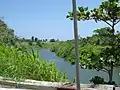
 Río Grande de Manatí from PR-642 bridge in Manatí | |
| Location | |
| Commonwealth | Puerto Rico |
| Municipality | Ciales, Manatí, Barceloneta, Morovis, Corozal, Barranquitas and Naranjito |
| Physical characteristics | |
| Source | |
| • elevation | 7 ft. |
Description
The river travels in sequence through Ciales, Manatí, Barceloneta, Morovis, Corozal, Barranquitas and Naranjito in Puerto Rico.
History
In the 1898 Military Notes on Puerto Rico by the U.S. it is written that the "Manatí River is bounded on the east 'south by the Sierra Grande and on the west by the Siales ridge. It rises in the Sierra Grande, and parallel with the preceding river, it flows through Siales and Manatí, to the north of which latter town it empties into the Atlantic."[1]
USACE project
In mid 2018, the United States Army Corps of Engineers announced it had earmarked $1.2 million to study and research the river.[2]
Galleries
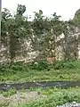
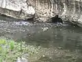
Corozal
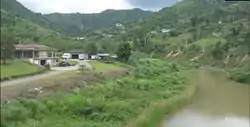
View of Río Grande de Manatí from Puerto Rico Highway 802 Bridge in Corozal
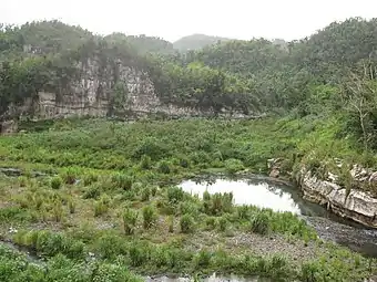
Ciales
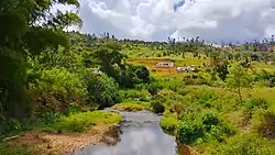
Views of Río Grande de Manatí from historic Manatí Bridge at Mata de Plátano in Ciales

View of Río Grande de Manatí from Paseo Lineal Juan Antonio Corretjer in Ciales
.jpg.webp)
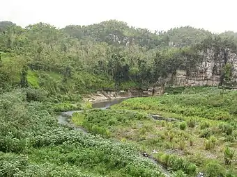
Manatí
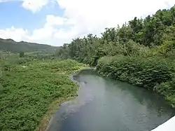
View of Río Grande de Manatí from Puerto Rico Highway 642 Bridge in Manatí
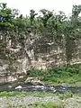
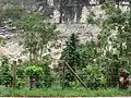
Barceloneta
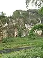
View of Río Grande de Manatí in Barceloneta

See also
References
- Military Notes on Puerto Rico. U.S. Government Printing Office. 1898. pp. 20–.
- "USACE: $3.348 billion go toward reducing flood risk in Florida, Puerto Rico and USVI". Caribbean Business. 6 July 2018.
- U.S. Geological Survey Geographic Names Information System: Río Grande de Manatí