Ra's Lanuf Airport
Ras Lanuf Oil Airport (ICAO: HLNF) is an airport in the Sirte District of Libya, located on the Mediterranean coast 227 kilometres (141 mi) south-southwest of Benghazi. Its primary use is the transportation of oilfield workers from production facilities in the area.
Ra's Lanuf Airport | |||||||||||||||
|---|---|---|---|---|---|---|---|---|---|---|---|---|---|---|---|
| Summary | |||||||||||||||
| Airport type | Private | ||||||||||||||
| Serves | Ra's Lanuf, Libya | ||||||||||||||
| Elevation AMSL | 42 ft / 13 m | ||||||||||||||
| Coordinates | 30°30′00″N 18°31′35″E | ||||||||||||||
| Map | |||||||||||||||
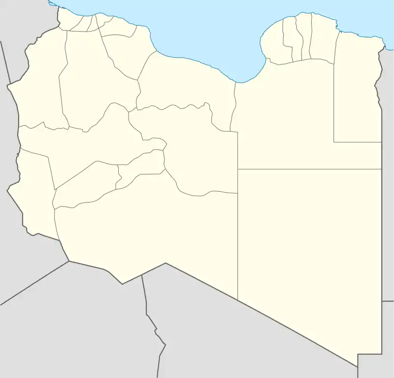
 HLNF Location of the airport in Libya | |||||||||||||||
| Runways | |||||||||||||||
| |||||||||||||||
The Ras Lanuf V40 non-directional beacon (Ident: VR) is located on the field.[3]
World War II
During World War II the airfield, then known as Hamraiet Airfield was used as a military airfield by the United States Army Air Force Ninth Air Force 57th Fighter Group during the North African Campaign against Axis forces. The 57th flew P-40 Warhawks from the airfield between 3–19 January 1943 before moving forward with the British Eighth Army. [4]
Further reading
- Maurer, Maurer. Air Force Combat Units of World War II. Maxwell AFB, Alabama: Office of Air Force History, 1983. 521 p. ISBN 0-89201-092-4.
- Maurer, Maurer, ed. (1982) [1969]. Combat Squadrons of the Air Force, World War II (PDF) (reprint ed.). Washington, DC: Office of Air Force History. ISBN 0-405-12194-6. LCCN 70605402. OCLC 72556.
References
- Airport information for HLNF at Great Circle Mapper.
- Google Maps - Ras Lanuf
- "Ras Lanuf V40 NDB (VR) @ OurAirports". ourairports.com. Retrieved 2018-08-21.
-
 This article incorporates public domain material from the Air Force Historical Research Agency website http://www.afhra.af.mil/.
External links
- OpenStreetMap - Ras Lanuf Oil Airport
- OurAirports - Ras Lanuf
- SkyVector - Ras Lanuf
- FallingRain - Ras Lanuf Oil Airport
- Airport information for Ras Lanuf Airport at World Aero Data. Data current as of October 2006.
- Accident history for Ras Lanuf Airport at Aviation Safety Network
This article is issued from Wikipedia. The text is licensed under Creative Commons - Attribution - Sharealike. Additional terms may apply for the media files.
.svg.png.webp)