Rainkopf
The Rainkopf is one of the highest summits of the Vosges Mountains. It is located on the border between the French regions of Alsace and Lorraine. Not faraway from its summit is located a mountain hut called Refuge "Louis Hergès" au Rainkopf[2]
| Rainkopf | |
|---|---|
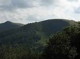 Rainkopf east slopes | |
| Highest point | |
| Elevation | 1,305 m (4,281 ft) [1] |
| Coordinates | 48°00′35″N 6°58′58″E |
| Geography | |
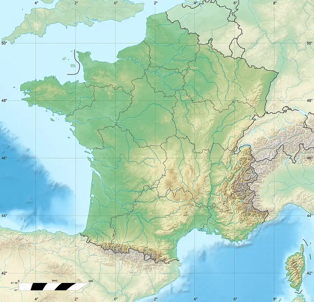 Rainkopf France | |
| Location | Alsace / Lorraine, France |
| Parent range | Vosges Mountains |
Etymology
In German Rainkopf means ravine mountain.
Geography
The mountain is divided between the French municipalities of La Bresse (dep. of Vosges, Lorraine), Mittlach and Wildenstein (dep. of Haut-Rhin, Alsace).[1]
The well known Route des Crêtes (French for road of the peaks) transits not faraway from the top of the mountain, which can be reached by a foothpath signposted by the Vosges Club.
See also
References
- IGN maps available on Géoportail
- Le REFUGE "Louis Hergès" au RAINKOPF, www.club-vosgien-mulhouse.fr (access: 12 December 2014).
| Wikimedia Commons has media related to Rainkopf. |
This article is issued from Wikipedia. The text is licensed under Creative Commons - Attribution - Sharealike. Additional terms may apply for the media files.