Rauenkopf
The Rauenkopf, also Rauchenkopf, is a mountain northeast of Reith bei Seefeld in the Karwendel Alps in the Austrian state of Tyrol. It is 2,011 metres high.[2]
| Rauenkopf | |
|---|---|
| Rauchenkopf | |
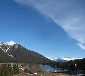 The Rauenkopf (left) with the lake of Wildsee in the foreground | |
| Highest point | |
| Elevation | 2,011 m (AA) [1] |
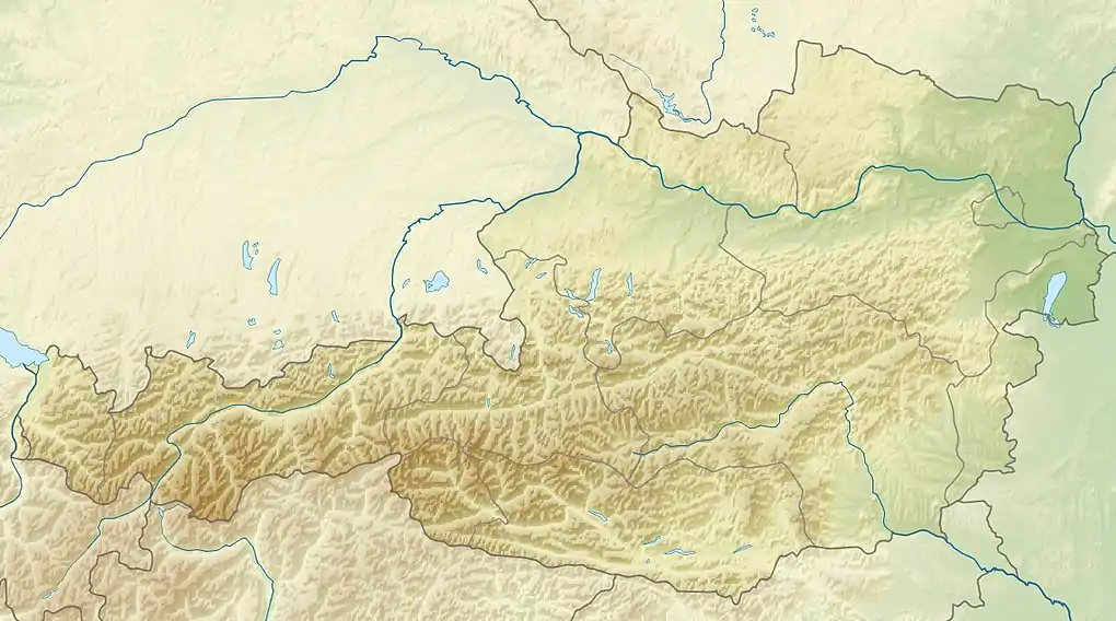
| Coordinates | 47°18′30″N 11°13′41″E |
| Geography | |
 Rauenkopf | |
| Parent range | Karwendel |
Ascent
There is no marked route to the top. However a mountain path to the Reither Spitze, known as the Reither Spitzsteig, passes by 250 metres northwest of the summit.[2]
References
- Bundesamt für Eich- und Vermessungswesen (BEV): Topographic map of Austria at AMAP online
- Seefeld Leutasch 1:25,000 hiking map, Wanderland-Verlag, 4th edn., 2011.
This article is issued from Wikipedia. The text is licensed under Creative Commons - Attribution - Sharealike. Additional terms may apply for the media files.