Rawhitiroa
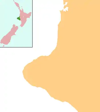
Rawhitiroa is a locality in South Taranaki, New Zealand. It is approximately 6.5 km east of Eltham.[1][2]
Rawhitiroa | |
|---|---|
 Rawhitiroa | |
| Coordinates: 39°25′26″S 174°21′57″E | |
| Country | New Zealand |
| Region | Taranaki |
| District | South Taranaki District |
The New Zealand Ministry for Culture and Heritage gives a translation of "long-shininge sun" for Rāwhitiroa.[3]
Marae
The local Ararātā Marae is a tribal meeting ground for the Ngāti Ruanui hapū of Ngāti Hawe.[4][5]
Education
Rawhitiroa School is a coeducational full primary (years 1-8) school with a roll of 49 students as of March 2020.[6][7] The school opened on 11 December 1897, and was initially called Andersen Road School. The school was completely destroyed by fire twice, in 1944 and 1976, and rebuilt each time. Mangamingi School, which opened in 1903, was closed and merged with Rawhitiroa School at the end of 1988.[8]
Notes
- Peter Dowling (editor) (2004). Reed New Zealand Atlas. Reed Books. pp. map 35. ISBN 0-7900-0952-8.CS1 maint: extra text: authors list (link)
- Roger Smith, GeographX (2005). The Geographic Atlas of New Zealand. Robbie Burton. pp. map 97. ISBN 1-877333-20-4.
- "1000 Māori place names". New Zealand Ministry for Culture and Heritage. 6 August 2019.
- "Te Kāhui Māngai directory". tkm.govt.nz. Te Puni Kōkiri.
- "Māori Maps". maorimaps.com. Te Potiki National Trust.
- "New Zealand Schools Directory". New Zealand Ministry of Education. Retrieved 26 April 2020.
- Education Counts: Rawhitiroa School
- "Our History". Rawhitiroa School.
This article is issued from Wikipedia. The text is licensed under Creative Commons - Attribution - Sharealike. Additional terms may apply for the media files.