Rawnsley Bluff
Rawnsley Bluff (formerly Rawnsley's Bluff) is a geological feature in the Australian state of South Australia located in the locality of Flinders Ranges, South Australia and within the boundaries of the Ikara-Flinders Ranges National Park.[1]
| Rawnsley Bluff | |
|---|---|
 Annotated view of Rawnsley's Bluff from space | |
 Location in South Australia 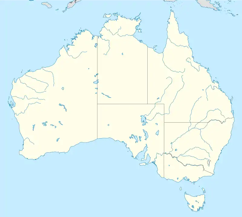 Rawnsley Bluff (Australia) | |
| Location | Flinders Ranges, South Australia, Australia |
| Coordinates | 31°37′24″S 138°36′37″E[1] |
| Range | Flinders Ranges |
| Part of | Wilpena Pound |
| Elevation | 943 metres (3,094 ft)[1] |
It is a bluff that is part of Wilpena Pound, and it is south of St Mary Peak (St Mary Peak is the tallest in the Flinders Ranges at 3,825 feet (1,166 meters)).[2] Rawnsley's Bluff connects the eastern and western mountain ranges of the pound.[2]
The Adelaide Scotch College Cadet Unit used the bluff for training each year until the unit was disbanded in the early 1970s.[3] Training included flights with helicopters, infantry training, and practice with infantry weapons such as mortars.[3] The unit was noted for providing outdoor adventures to the student body.[3]
In the 1890s Rawnsley's Bluff was home to a trigonometrical station, supporting surveying in South Australia.[4]
References
- "Search result for "Rawnsley Bluff, Hd" with the following layers selected - "NPW and Conservation Properties", "Suburbs and Localities", "SA Government Regions" and "Gazetteer"". Location SA Map Viewer. Government of South Australia. Retrieved 30 December 2018.
- NASA - Wilpena Pound
- Peter Read, Alex Pouw-Bray - Ninety Years at Torrens Park: The Scotch College Story - Page 154 (Google Books)
- Proceedings of the Parliament of South Australia, Volume 2 (1894) (Google eBook, Page 347)