Rhobell Fawr
Rhobell Fawr is an extinct volcano [1] in the Arenig range within the Snowdonia National Park.
| Rhobell Fawr | |
|---|---|
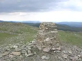 The summit of Rhobell Fawr | |
| Highest point | |
| Elevation | 734 m (2,408 ft) |
| Prominence | 309 m (1,014 ft) |
| Parent peak | Arenig Fawr |
| Listing | Marilyn, Hewitt, Nuttall |
| Coordinates | 52.814°N 3.802°W |
| Naming | |
| Pronunciation | Welsh: [ˈr̥ɔbɛɬ ˈvaur] |
| Geography | |
| Location | Gwynedd, Wales |
| Parent range | Snowdonia |
| OS grid | SH786256 |
| Topo map | OS Landranger 124 |
| Listed summits of Rhobell Fawr | ||||
| Name | Grid ref | Height | Status | |
|---|---|---|---|---|
| Dduallt | 662 m (2,172 ft) | Hewitt, Nuttall | ||
| Rhobell Ganol | 521 m (1,709 ft) | TuMP | ||
| Rhobell-y-big | 504 m (1,654 ft) | Dodd (hill), Dewey (hill) | ||
Despite its modest height of 734 m (2,408 feet), it is a mountain with views of higher peaks all around, including the north face of Cadair Idris and distant Snowdon.
The paths are not well trodden, but there is a distinct path up from Bwlch Goriwared, a couple of miles north-north-east of the small village of Llanfachreth.
References
- "North West Wales Outdoors: Snowdon". BBC. 2002. Archived from the original on 2006-10-16.
This article is issued from Wikipedia. The text is licensed under Creative Commons - Attribution - Sharealike. Additional terms may apply for the media files.