Ribarevina
Ribarevina (Montenegrin Cyrillic: Рибаревина), meaning place of fishermen in Older Slavic, is the name of a major crossroads in Montenegro, based in the north of the country in the Bijelo Polje municipality. Situated close to Bijelo Polje, it connects the northern Montenegrin towns of Bijelo Polje, Pljevlja and Žabljak with both southern Montenegro (Podgorica and the sea), and northeastern Montenegro (Berane district), hence the border crossings into Serbia including Kosovo.
Ribarevina
Рибаревина | |
|---|---|
Village | |
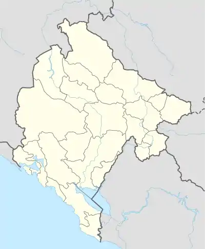 Ribarevina Location within Montenegro | |
| Coordinates: 42.994113°N 19.744689°E | |
| Country | |
| Municipality | |
| Population (2011) | |
| • Total | 383 |
| Time zone | UTC+1 (CET) |
| • Summer (DST) | UTC+2 (CEST) |
Demographics
According to the 2011 census, its population was 383.[1]
| Ethnicity | Number | Percentage |
|---|---|---|
| Serbs | 262 | 68.4% |
| Montenegrins | 105 | 27.4% |
| other/undeclared | 16 | 4.2% |
| Total | 383 | 100% |
References
- "Tabela N1. Stanovništvo prema nacinalnoj odnosno etničkoj pripadnosti po naseljima, Popis stanovništva, domaćinstava i stanova u Crnoj Gori 2011. godine" (in Montenegrin). Statistical Office of Montenegro. Retrieved January 27, 2012.
This article is issued from Wikipedia. The text is licensed under Creative Commons - Attribution - Sharealike. Additional terms may apply for the media files.