Rivière-Koksoak, Quebec
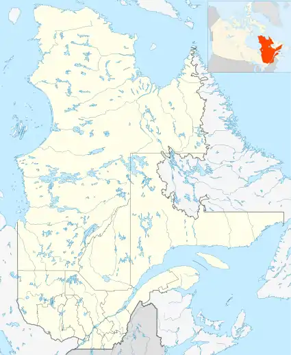
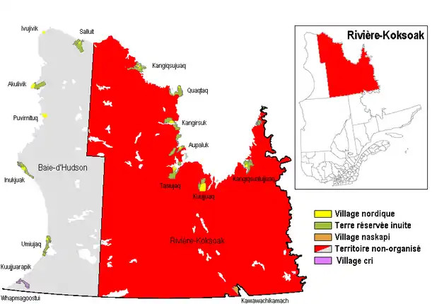
Rivière-Koksoak is a very large unorganized territory in the Kativik Regional Government territory in the Nord-du-Québec region of Quebec. It is named after the Koksoak River.
Rivière-Koksoak | |
|---|---|
 Rivière-Koksoak | |
| Coordinates: 57°10′N 69°20′W[1] | |
| Country | |
| Province | |
| Region | Nord-du-Québec |
| TE | Kativik |
| Constituted | January 1, 1986 |
| Government | |
| • Federal riding | Abitibi—Baie-James—Nunavik—Eeyou |
| • Prov. riding | Duplessis and Ungava |
| Area | |
| • Total | 346,429.30 km2 (133,757.10 sq mi) |
| • Land | 307,039.90 km2 (118,548.77 sq mi) |
| Population (2011)[3] | |
| • Total | 0 |
| • Density | 0.0/km2 (0/sq mi) |
| • Change (2006–11) | |
| • Dwellings | 0 |
| Time zone | UTC−5 (EST) |
| • Summer (DST) | UTC−4 (EDT) |
It consists of nearly the entire eastern part of northernmost Quebec. Bordering it to the west is the other large unorganized territory in Kativik, Baie-d'Hudson.
Its population in the Canada 2011 Census was 0; enclaved within it, however, are various northern villages (i.e., Inuit communities) and one (uninhabited) Naskapi village municipality. In the 2006 census it had a population of 15.
References
This article is issued from Wikipedia. The text is licensed under Creative Commons - Attribution - Sharealike. Additional terms may apply for the media files.