Roc'h Trevezel
Roc'h Trevezel is the second peak of the Breton part of the Armorican Massif in the Monts d'Arrée. Just like the Signal of Toussaines, it reaches 384 metres (1,260 ft) in altitude. It is located in the commune of Plounéour-Ménez, near Roc'h Ruz, the highest point of the Monts d'Arrée in Brittany.
| Roc'h Trevezel | |
|---|---|
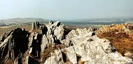 Roc'h Trevezel in July 1991 | |
| Highest point | |
| Elevation | 384 m (1,260 ft) [1] |
| Coordinates | 48°24′36″N 03°54′27″W |
| Geography | |
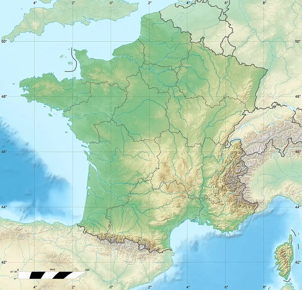 Roc'h Trevezel Location in western France | |
| Location | Finistère, France |
| Parent range | Monts d'Arrée |
Roc'h Trevezel is the highest peak on the Paris–Brest–Paris bicycle route.
References
- "Montagnes, monts et points culminants bretons, hauteur des montagnes de Bretagne" (in French). geobreizh.com. Archived from the original on 2014-04-21. Retrieved 2014-04-20.
This article is issued from Wikipedia. The text is licensed under Creative Commons - Attribution - Sharealike. Additional terms may apply for the media files.