Rocky Fork Lakes Conservation Area
Rock Fork Lakes Conservation Area is a nature preserve and former strip mine in Boone County, Missouri. Located north of Columbia, Missouri adjacent to Finger Lakes State Park it is over 2000 acres of lakes, wetlands, forest, and prairie. Much of the land is severely degraded from strip mining by the Peabody Coal Company from 1963-1972. The land was acquired by the Missouri Department of Conservation in 1979. An unstaffed shooting range is open to the public and was renovated in 2014.[1] The 50-acre Rocky Fork Lake has a boat ramp and is used for fishing.[2][3] It is named after Rocky Fork Creek.
| Rocky Fork Lakes Conservation Area | |
|---|---|
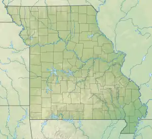 Location in Missouri  Rocky Fork Lakes Conservation Area (the United States) | |
| Location | Boone, Missouri, United States |
| Coordinates | 39°4′0.17″N 92°18′8.05″W |
| Area | 2,199.6 acres (8.901 km2) |
| Governing body | Missouri Department of Conservation |
| Website | Rocky Fork Lakes Conservation Area |
See also
References
- Howland, Jack (October 10, 2014). "Rocky Fork Lakes shooting range debuts extensive renovations". Columbia Missourian. Retrieved July 23, 2019.
- "Rocky Fork Lakes CA" (PDF). Missouri Department of Conservation. Retrieved July 23, 2019.
- Ma, Ming (December 13, 2016). "MDC announces temporary closures at Rocky Fork Lakes Conservation Area". KOMU-TV. Retrieved July 23, 2019.
External links
This article is issued from Wikipedia. The text is licensed under Creative Commons - Attribution - Sharealike. Additional terms may apply for the media files.