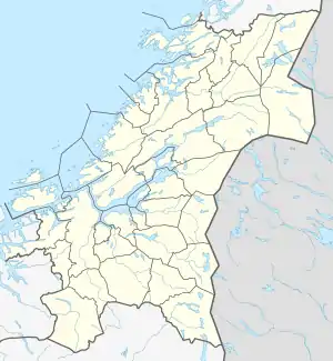
Romundstad, Trøndelag
Romundstad is a village and basic statistical unit (grunnkrets) in the municipality of Rindal in Trøndelag county, Norway.[2][3]
Romundstad | |
|---|---|
Village | |
 Romundstad Location of the village  Romundstad Romundstad (Norway) | |
| Coordinates: 63°1′33″N 9°19′41″E | |
| Country | Norway |
| Region | Central Norway |
| County | Trøndelag |
| Municipality | Rindal |
| Elevation | 269 m (883 ft) |
| Time zone | UTC+01:00 (CET) |
| • Summer (DST) | UTC+02:00 (CEST) |
| Post Code | 6657 Rindal |
The settlement lies along the Rinda River and Norwegian County Road 341, also known as Romundstadbygdvegen (Romundstad Village Road).[4] It has an elevation of 269 meters (883 ft).[1] It consists of several farms, including the Flålia, Heggem, Hegglund, Nerbu, Nergård, and Romundstad farms.[4]
The settlement was attested as Romundsta in 1559 (and as Rømundsta in 1590 and Roemundstad in 1643, among other names).[5] The original name is reconstructed as the compound word *Rómundarstaðir which comes from Rómundr (a masculine name) and staðir 'farmstead, dwelling'.[5]
Notable people
Notable people that were born or lived in Romundstad include:
- John Neergaard (1795–1885), farmer, bailiff, and politician[3]
References
- "Romundstad, Rindal (Møre og Romsdal)". Yr. Norwegian Meteorological Institute and the Norwegian Broadcasting Corporation. Retrieved June 17, 2018.
- "Folkemengde grunnkretser - 15 Møre og Romsdal". Statistisk sentralbyrå. Retrieved June 17, 2018.
- Thorsnæs, Geir. "Rindal". Store norske leksikon. Retrieved June 17, 2018.
- "Norgeskart". Retrieved June 17, 2018.
- Rygh, Oluf (1908). Norske Gaardnavne. Oplysninger samlade til brug ved Matrikelens Revision. 13. Romsdals amt. Kristiania: Fabritius. p. 422. Retrieved June 17, 2018.