Saint-Joseph-des-Érables
Saint-Joseph-des-Érables is a municipality in the Municipalité régionale de comté Robert-Cliche in Quebec, Canada. It is part of the Chaudière-Appalaches region and the population is 439 as of 2009.
Saint-Joseph-des-Érables | |
|---|---|
.jpg.webp) Farms in the Chaudière valley. | |
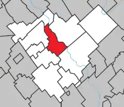 Location within Robert-Cliche RCM. | |
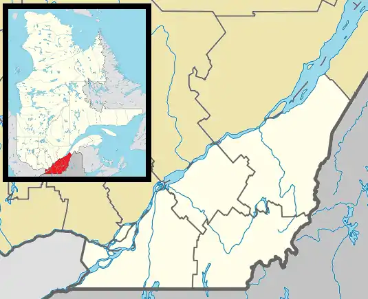 Saint-Joseph-des-Érables Location in southern Quebec. | |
| Coordinates: 46°17′N 70°55′W[1] | |
| Country | |
| Province | |
| Region | Chaudière-Appalaches |
| RCM | Robert-Cliche |
| Constituted | November 26, 1938 |
| Government | |
| • Mayor | Louis Jacques |
| • Federal riding | Beauce |
| • Prov. riding | Beauce-Nord |
| Area | |
| • Total | 52.40 km2 (20.23 sq mi) |
| • Land | 51.73 km2 (19.97 sq mi) |
| Population (2011)[3] | |
| • Total | 420 |
| • Density | 8.1/km2 (21/sq mi) |
| • Pop 2006-2011 | |
| • Dwellings | 167 |
| Time zone | UTC−5 (EST) |
| • Summer (DST) | UTC−4 (EDT) |
| Postal code(s) | G0S 2V0 |
| Area code(s) | 418 and 581 |
| Highways | |
| Website | www.stjoseph deserables.com |
Saint-Joseph-des-Érables lies on the western bank of the Chaudière River, facing Saint-Joseph-de-Beauce, from which it has split in 1938. "Érables" refers to the large presence of maple trees on the municipality's territory.
References
- Commission de toponymie du Québec
- Ministère des Affaires municipales, des Régions et de l'Occupation du territoire
Places adjacent to Saint-Joseph-des-Érables | ||||||||||
|---|---|---|---|---|---|---|---|---|---|---|
| ||||||||||
| Cities & Towns | |
|---|---|
| Municipalities | |
| Parishes | |
| Villages | |
| |
This article is issued from Wikipedia. The text is licensed under Creative Commons - Attribution - Sharealike. Additional terms may apply for the media files.