Salvaterra, Pará
Salvaterra is a Brazilian municipality located in the state of Pará. Its population as of 2020 is estimated to be 24,075 people. The area of the municipality is 1,043.504 km². The city is located in the mesoregion Marajó and the microregion of Arari.
Salvaterra | |
|---|---|
Municipality | |
 Flag  Seal | |
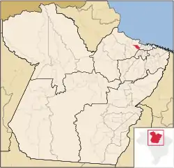 Location in the State of Pará | |
| Coordinates: 00°45′10″S 48°31′01″W | |
| Country | |
| Region | North |
| State | |
| Area | |
| • Total | 1,043.504 km2 (402.899 sq mi) |
| Elevation | 5 m (16 ft) |
| Population (2020 [1]) | |
| • Total | 24,075 |
| • Density | 16.8/km2 (44/sq mi) |
| Time zone | UTC-3 (BST) |
| Postal Code | 68860-000 |
Conservation
The municipality is contained in the 59,985 square kilometres (23,160 sq mi) Marajó Archipelago Environmental Protection Area, a sustainable use conservation unit established in 1989 to protect the environment of the delta region.[2] The municipality operates the Mata do Bacurizal e do Lago Caraparu Ecological Reserve, a forest area with a lake just south of the town of Salvaterra.[3]
References
Sources
- APA Arquipélago do Marajó (in Portuguese), ISA: Instituto Socioambiental, retrieved 2016-06-27
- Giovanni Salera Júnior (24 August 2012), "Reserva Ecológica da Mata do Bacurizal e do Lago Caraparu", Mesa de Bar News, Gurupi – Estado do Tocantins. (476), retrieved 2016-07-17
This article is issued from Wikipedia. The text is licensed under Creative Commons - Attribution - Sharealike. Additional terms may apply for the media files.