San Juan Nepomuceno, Paraguay
San Juan Nepomuceno is a city and district in the Paraguayan department of Caazapá. It has the largest urban conglomeration of the department.
San Juan Nepomuceno | |
|---|---|
City | |
 San Juan Nepomuceno | |
| Coordinates: 26°07′00″S 55°55′48″W | |
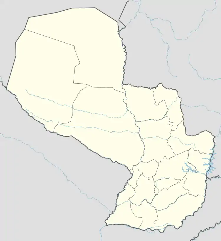
| Country | |
| Department | Caazapá |
| Founded | November 20, 1797 for Lázaro de Rivera y Espinosa |
| Government | |
| • Intendente Municipal | Néstor Orlando Rojas Villalba (San Juan Diferente) |
| Area | |
| • Total | 1,011 km2 (390 sq mi) |
| Population (2002) | |
| • Total | 24,243 |
| • Density | 24/km2 (62/sq mi) |
| Time zone | UTC-04 (AST) |
| • Summer (DST) | UTC-03 (ADT) |
| Postal code | 5880 |
| Area code(s) | (595) (544) |
Location
This district is located in the east part of the department and shares border with six districts of Caazapá (clockwise: N: General Higinio Morínigo, Abaí; E: Tavaí; S: Yuty; W: Buena Vista, Caazapá) and one of the Itapúa (Alto Verá).
Population
According to the 2002 Census this district has the largest urban area of Caazapá with 6937 inhabitants in its urban conglomeration. Its total population is the third in the department, with 24243 inhabitants, after Yuty and Abaí.
How to get here
It lies 249 km southeast of the national capital city, Asuncion, at the terminus of the Blas Garay highway. Blas Garay is a spur of the national highway Number 8 and forks at a crossroads near the town of Ñumí.