Senapati (Tahamzam)
Senapati is the district headquarters of Senapati district in the state of Manipur in India.
Senapati
Tahamzam | |
|---|---|
Village | |
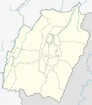 Senapati Location in Manipur, India  Senapati Senapati (India) | |
| Coordinates: 25.2727°N 94.0265°E | |
| Country | |
| State | Manipur |
| District | Senapati |
| Area | |
| • Total | 3,271 km2 (1,263 sq mi) |
| Elevation | 2,500 m (8,200 ft) |
| Population (2001) | |
| • Total | 283,621 |
| • Density | 87/km2 (230/sq mi) |
| Languages | |
| • Official | Meitei |
| Time zone | UTC+5:30 (IST) |
| PIN | 795106 |
| Telephone code | 3871 |
| Vehicle registration | MN |
| Literacy | 59.8% |
The land
Senapati District is located in the northern part of Manipur bordered by Phek district on the North, Tamenglong District on the West, Imphal East and West District on the South and Ukhrul district on the east. The general topography of the district is hilly. The hills run in the north to south alignment gradually sloping down to south meeting the plain of Manipur valley. National Highway 39 stretches through the heart of the district. Sekmai is the South of the district. Mao bordered the Nagaland in the North end. Total land area of 60% of the district is forest and 40% is arable land. The land is rich of flora and fauna. The forest is adorned with centuries old trees. The district comes under humid Sub-tropical climate.
The People
The Senapati District has a total population of 2,83,621 according to the 2001 census. Senapati is a district having various ethnic communities. The major communities are of Poumai, Mao, Maram, Thangal,and Zeliangrong Naga tribes. There exist minorities of Tangkhul and Maring Nagas, Kukis, Nepali, and others. Manipuri is the lingua-franca of the various communities in the district, while each community speaks their tribal dialect. The religious makeup of the city is 98% Christian and 2% Hindu. Paddy, maize, potato, cabbage, and cereals are the main economic crops of the district. Rice is the main food of people. Cattle, buffalo, pig and goats are the main animals reared in the district.