Shootflying Hill
Shootflying Hill is a mountain in Barnstable County, Massachusetts. It is located north of Centerville in the Town of Barnstable. Clay Hill is located west and Cobbs Hill is located east-northeast of Shootflying Hill. Named for the early practice of Shooting geese and ducks as they passed over.
| Shootflying Hill | |
|---|---|
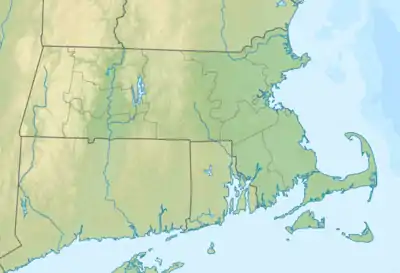 Shootflying Hill Location of Shootflying Hill in Massachusetts  Shootflying Hill Shootflying Hill (the United States) | |
| Highest point | |
| Elevation | 52 ft (16 m) |
| Coordinates | 41°41′00″N 70°20′34″W[1] |
| Geography | |
| Location | Cape Cod, Massachusetts |
| Topo map | USGS Hyannis |
References
- "Shootflying Hill". Geographic Names Information System. United States Geological Survey. Retrieved 2018-08-20.
This article is issued from Wikipedia. The text is licensed under Creative Commons - Attribution - Sharealike. Additional terms may apply for the media files.