Sjona
Sjona is a fjord in Nordland county, Norway. The 26-kilometre (16 mi) fjord begins in the municipality of Rana and flows to the west through Nesna and Lurøy municipalities into the sea. The islands of Handnesøya and Tomma lie at the mouth of the fjord. The deepest part of the fjord reaches 636 metres (2,087 ft) below sea level. Norwegian County Road 17 follows the entire coast of the fjord. Villages along the shore of the fjord include Flostrand, Mæla, and Myklebustad.[1]
| Sjona | |
|---|---|
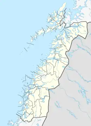 Sjona Location of the fjord  Sjona Sjona (Norway) | |
| Location | Nordland county, Norway |
| Coordinates | 66.3032°N 13.2881°E |
| Type | Fjord |
| Basin countries | Norway |
| Max. length | 26 kilometres (16 mi) |
| Max. depth | 636 metres (2,087 ft) |
Media gallery
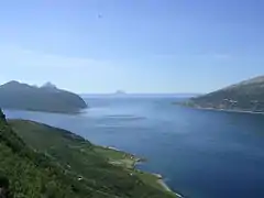 Outer part seen from the south; Handnesøya to the left
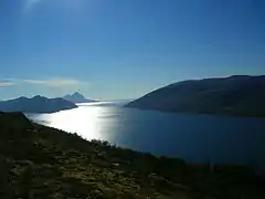 Outer part seen from the south
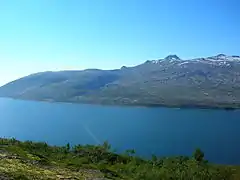 Middle part seen from the south
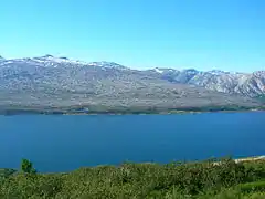 Middle part seen from the south
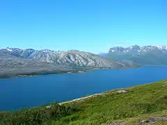 Inner part seen from the south
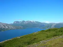 Inner part seen from the south
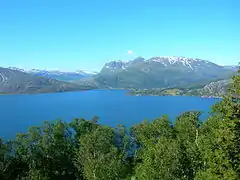 Inner part seen from the south
This article is issued from Wikipedia. The text is licensed under Creative Commons - Attribution - Sharealike. Additional terms may apply for the media files.